While last year we enjoyed some great hikes in the Swabian Alb, this year we took the Württemberg Valley Cycle Route through the region’s unique landscape. The cycle path led us from Giengen an der Brenz to Schwäbisch Gmünd. Along the way, we discovered picturesque river valleys, charming towns, rolling hills, steep cliffs, and numerous magnificent views.
In the following article, we will introduce you to stages 3, 4, 5, and 6 of the Württemberg Valley Cycle Route in more detail and take you virtually along on our diverse cycling tour. We will also provide you with all the important information about accommodations, routes, equipment, and highlights. Have fun browsing!
- The Württemberg Valley Cycle Route
- Details of the Württemberg Valley Cycle Route
- Start of the cycle tour in Giengen an der Brenz
- Stage 3: Giengen an der Brenz to Ulm
- Stage 4: Ulm to Laichingen
- Stage 5: Laichingen to Bad Boll
- Stage 6: Bad Boll to Schwäbisch Gmünd
- On the road with the AlbCard
- Our accommodations along the cycle route
- Packing list & panniers for the bike
- Württemberg Valley Cycle Route – Our conclusion
The Württemberg Valley Cycle Route
The 273-kilometer-long Württemberg Valley Cycle Route is divided into 6 stages. Along the way, you’ll pass through 12 river valleys, including the Brenz Valley, Danube Valley, Ach Valley, Remstal, and Eselsburger Valley. The cycle path is mostly flat to slightly hilly, making it suitable for less experienced cyclists and families. Only on stages 4 and 5 will you occasionally have to pedal a little harder.
Each stage has its own unique character and awaits you with diverse highlights. Whether it’s the bright blue Blautopf karst spring in Blaubeuren, the Steiff Museum in Giengen an der Brenz, the beautiful city of Ulm with the world’s tallest church steeple, or the caves of the Swabian Alb, a UNESCO World Heritage Site – there’s definitely no room for boredom here!
Not to mention the beautiful natural scenery of the Swabian Alb. Rolling hills, imposing rock faces, idyllic river valleys, and breathtaking views awaited us. This bike tour was perfect for us to try out a multi-day bike tour. It was definitely not our last tour.
Details Württemberg Valley Cycle Route
- Best time to travel: April to October
- Stages: 6 daily stages (can be adjusted as desired)
- Distance: 273 km (between 35 km and 53 km per stage)
- Length: 6 days (approx. 3 to 4 hours of riding time per stage)
- Trail condition: 12% natural | 30% fine gravel | 57% asphalt
- Highlights: 12 valleys, panoramic views, impressive rock faces, rolling hills, charming towns

By loading the tweet, you accept Twitter’s privacy policy.
Learn more
Load content
Start of the cycling tour in Giengen an der Brenz
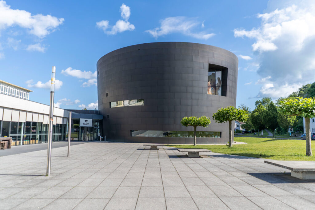
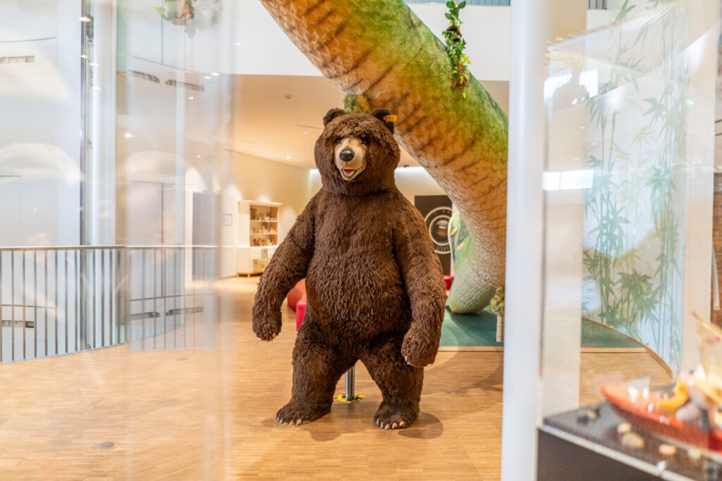
Giengen an der Brenz is located in the picturesque Brenz Valley and is known for its unicorns and teddy bears. Huh? Unicorns and teddy bears? Yes, you read that right. The former free imperial city is the home and birthplace of the teddy bear. The Steiff factory hall was built here in 1903, after Margarete Steiff created the first stuffed animal – a small elephant – over 135 years ago.
Today, you can immerse yourself in the world of cuddly toys at the 2,400 square meter Steiff Museum and purchase a souvenir or two in the world’s largest Steiff shop. The museum is open Tuesday to Sunday from 10 a.m. to 5 p.m. Admission is even free with the AlbCard. More on this further down in the article.
And even outside of these stuffed animal worlds, Giengen offers highlights worth seeing, such as the Charlottenhöhle, which at 587 meters is the longest accessible show cave in the Swabian Alb, or the charming old town with several historic buildings.
- Getting to Giengen an der Brenz: with Deutsche Bahn
- Bike rental: click here for an overview
- Accommodation tip: Stadthotel Giengen
- Restaurant tip: La Cucina degli Artisti Ristorante (part of the hotel)

Stage 3: Giengen an der Brenz to Ulm
Early in the morning, after a leisurely breakfast at the Stadthotel Giengen, we started the first stage of our 4-day cycling tour. Ahead of us lay a A route of around 47 km with some great highlights. Even though the weather in June was really mixed, we were always very lucky.
Information about the 3rd stage:
- Start/End point: Giengen an der Brenz ☞ Ulm
- Total length: 47.1 kilometers
- Duration: 3 hours 10 minutes (with photo stops and breaks 4 to 5 hours)
- Route: View the entire route here
- Seal of quality: 4-star ADFC quality cycle route
- Equipment: Touring bike, drinks, helmet, weatherproof clothing, GPS
- Highlights: Brenz Valley, Danube Valley, Langenauer Ried, Ulm (Cathedral, old town, etc.)
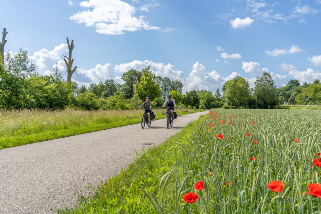
The first few kilometers through the Brenz Valley
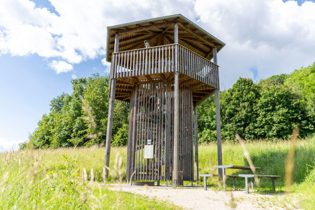
From From Giengen, the cycle path led us through the picturesque Brenz Valley. On the banks of the Brenz River behind Hermaringen, we discovered the Brenz Tower, which offered us a fantastic view of the surrounding landscape. With a bit of luck, you might even spot various wild birds through the free telescope.
Langenauer Ried Nature Reserve
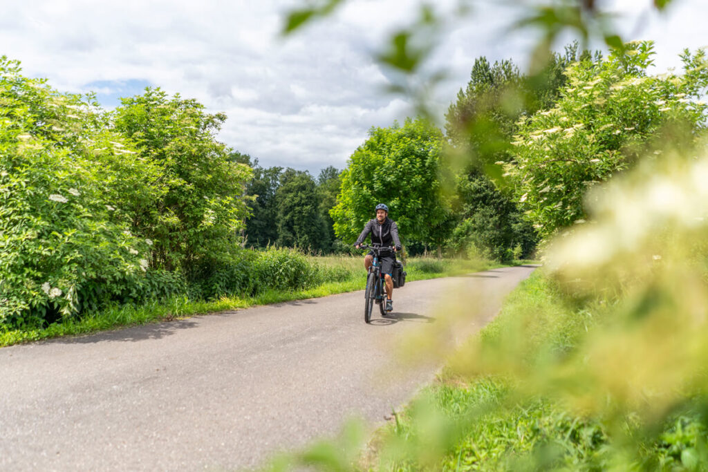
After cycling through Sontheim an der Brenz and passing below Niederstrotzingen, Asselfingen, and Rammingen, we reached the northern part of the Langenauer Ried Nature Reserve with its moorland and small waterways. Here you can discover rare bird species, such as the black woodpecker and the marsh pond.
We cycled a leisurely 4 kilometers to Langenau, where we took a short break. At the Betz bakery, we first enjoyed a delicious poppy seed snail and strawberry pastry. After fortifying ourselves, we continued on our bikes towards the Danube Valley. The weather was quite mixed, with a constant alternation of sun and light rain.
The Danube Valley and Ulm
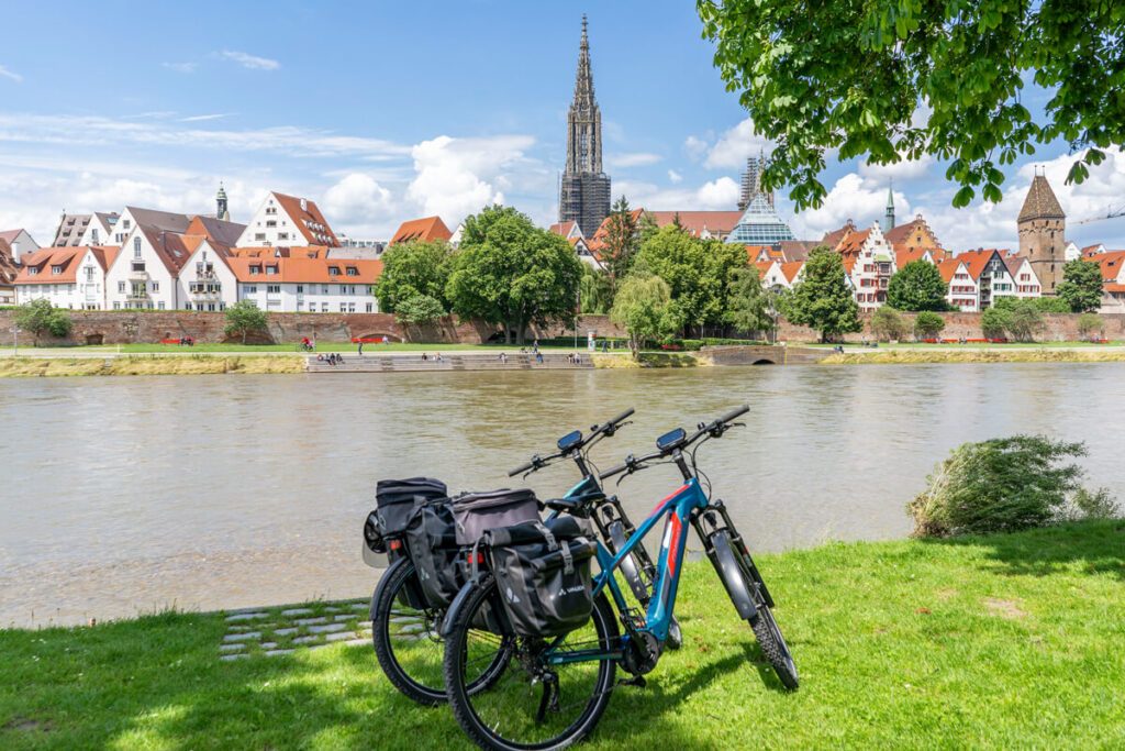
After our first 40 km, we reached the Danube Valley. Ulm was now not far away, and the sun finally made its appearance again. Upon arrival in Ulm, we took our bikes and luggage to the cozy Ulm Minster Hotel. Afterwards, we explored the city on foot, discovering incredibly charming corners.
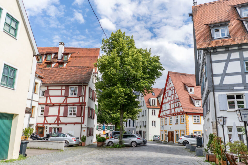
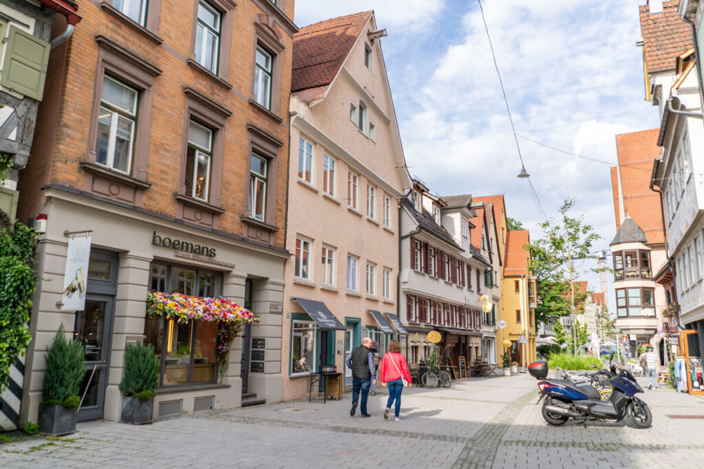
We particularly enjoyed the Fishermen’s and Tanners’ Quarter with its winding alleys and worth-seeing half-timbered houses. Did you know that Ulm is home to the world’s tallest church tower? The Ulm Minster should also be a must-see on your exploration tour. The entire old town is a great place to stroll and explore.
You can enjoy a great view of the old town from the Danube on the Bavarian side of the city in Neu-Ulm. Here at the Uferbar (Uferbar), you can get excellent coffee while enjoying the fantastic view. You can also enjoy a cool view of parts of Ulm and Neu-Ulm from the Berblinger Tower.
Our food tips for Ulm:
- Anoa Café (great flat white & cake)
- Gaststuben im Zunfthaus der Schiffleute (hearty, delicious dishes)
- Gaststätte Wilder Mann (great desserts & wines)
Stage 4: Ulm to Laichingen
New day, new stage. From Ulm, our multi-day journey led us on the The Württemberg Valley Cycle Route continues to Laichingen. 46.5 kilometers were on the agenda, with relatively good weather and great natural highlights.
Information on Stage 4:
- Start/End Point: Ulm ☞ Laichingen
- Total Length: 46.5 kilometers
- Duration: 3:35 hours (with photo stops and breaks 5-6 hours)
- Route: View the entire route here
- Seal of Quality: 4-Star ADFC Quality Cycle Route
- Equipment: Touring bike, drinks, helmet, weatherproof clothing, GPS
- Highlights: Ulm, Blautal, Blaubeuren, Achtal, Tiefental, Laichingen
Start through the Blautal
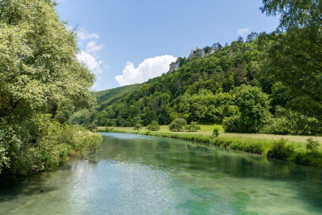
After a delicious breakfast at the Ulm Münster Hotel, we continued our cycling tour From Ulm, the cycle path led us always along the Blau to Blaubeuren. The Blau is a 22 km long river, which originates in the Blautopf and flows into the Danube in Ulm. Therefore, we only had to follow the river to reach the first intermediate destination of this stage.
Stop in Blaubeuren
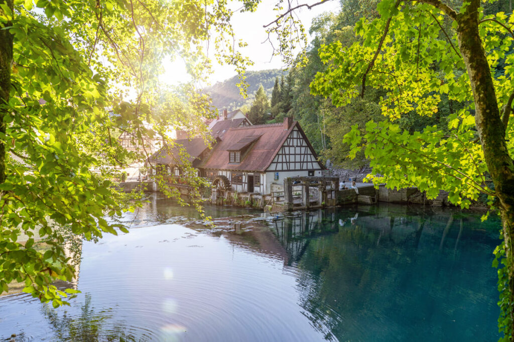
In Blaubeueren, we took a longer break and, of course, strolled around the legendary Blautopf, Germany’s second most abundant karst spring. Depending on the light, the Blautopf sparkles in the most beautiful shades of blue. So far, the approximately 21-meter-deep Blautopf can only be seen by cave divers. can be explored. Cave explorers have so far explored the Blauhöhlen system over a length of over 13 km. Crazy, right?
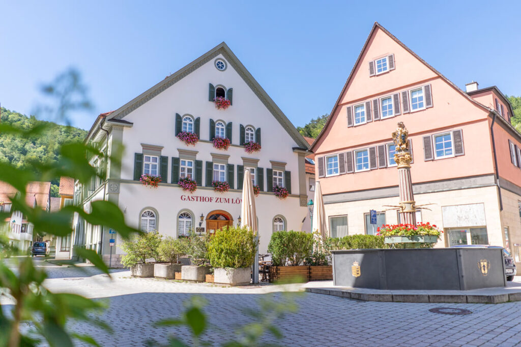
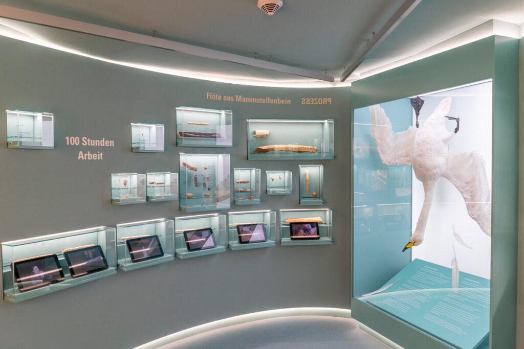
A walk through the old town is also worthwhile. It boasts well-preserved half-timbered houses, a market square, and cozy alleys that invite you to stroll. On our last trip, we also visited the Prehistoric Museum and learned more about the prehistory of the Swabian Alb.
Visitor information Urmu:
- Address: Kirchplatz 10, 89143 Blaubeuren
- Opening hours: Tues. – Sun. from 10 a.m. to 5 p.m.
- Admission price: €7; concessions €5 (free with the AlbCard)
Beautiful Tiefental
Well-fortified and with plenty of sunshine on our faces, we cycled on towards Laichingen. The first few kilometers beyond Blaubeuren led us through the Forested Tiefental. We cycled along the Tiefentalweg through shady forests on gravel forest roads to the Sontheimer Höhle.
It is Germany’s oldest show cave and can be explored along a 192-meter-long guided trail at a depth of up to 34 meters. Guided tours are only available on weekends. You can find all information about the cave here: Sontheimer Höhle.
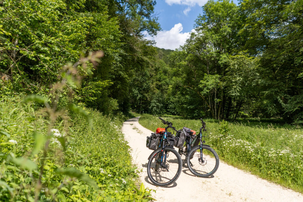
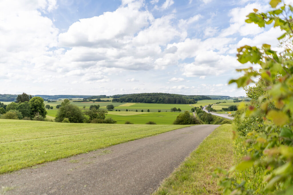
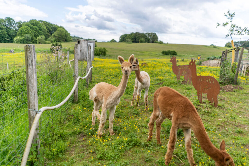
The last 10 Kilometers led us past Sontheim and Heroldstatt before reaching Laichingen after a final long descent. We stayed at the Hotel Post in Feldstetten, about 5 km away. We rounded off the evening in the small wellness area with a delicious meal in the hotel restaurant.
Stage 5: Laichingen to Bad Boll
The fifth stage was truly something. Due to the picturesque landscapes and fantastic views, this section was a true highlight of the entire cycling trip. Generally, we like the gentle green hills of the Swabian Alb, and you’ll see plenty of them on this part of the tour.
Information on Stage 5:
- Start/End point: Laichingen ☞ Bad Boll
- Total length: 42.9 kilometers
- Duration: 3:05 hours (with photo stops & breaks 4 – 5 hours)
- Route: View the entire route here
- Seal of quality: 4-star ADFC quality cycle route
- Equipment: Touring bike, drinks, helmet, weatherproof clothing, GPS
- Highlights: Laichingen Deep Cave, Reußenstein Ruin, landscape of the Swabian Alb
Exploring the Laichingen Deep Cave
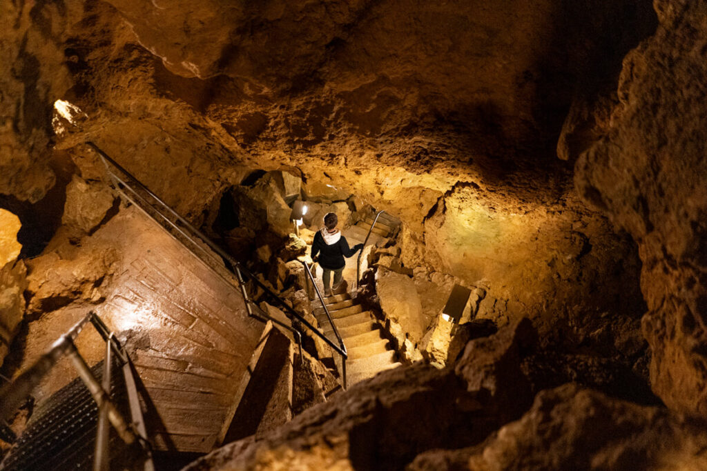
Did you know that the Swabian Alb, with over With 2,600 known caves, it’s the area with the most caves in Germany. Exploring the secrets surrounding these caves is not only incredibly exciting, but also a great way to wait out bad weather. So, our first stop was iron stairs descending almost 55 meters.
The cave is very well-developed, and information is available via small audio stations. A great solution! After about 40 minutes, we saw daylight again. There’s also a small exhibition/museum on site, and you can stop for refreshments. Tip: We can also recommend the neighboring high ropes course!
Visitor information Tiefenhöhle Laichingen:
- Address: Kirchplatz 10, 89143 Blaubeuren
- Opening hours: daily from 10 a.m. to 6 p.m.
- Admission price: Adults €5, children reduced €3.50 (free with the AlbCard)
The hilly landscape of the Swabian Alb
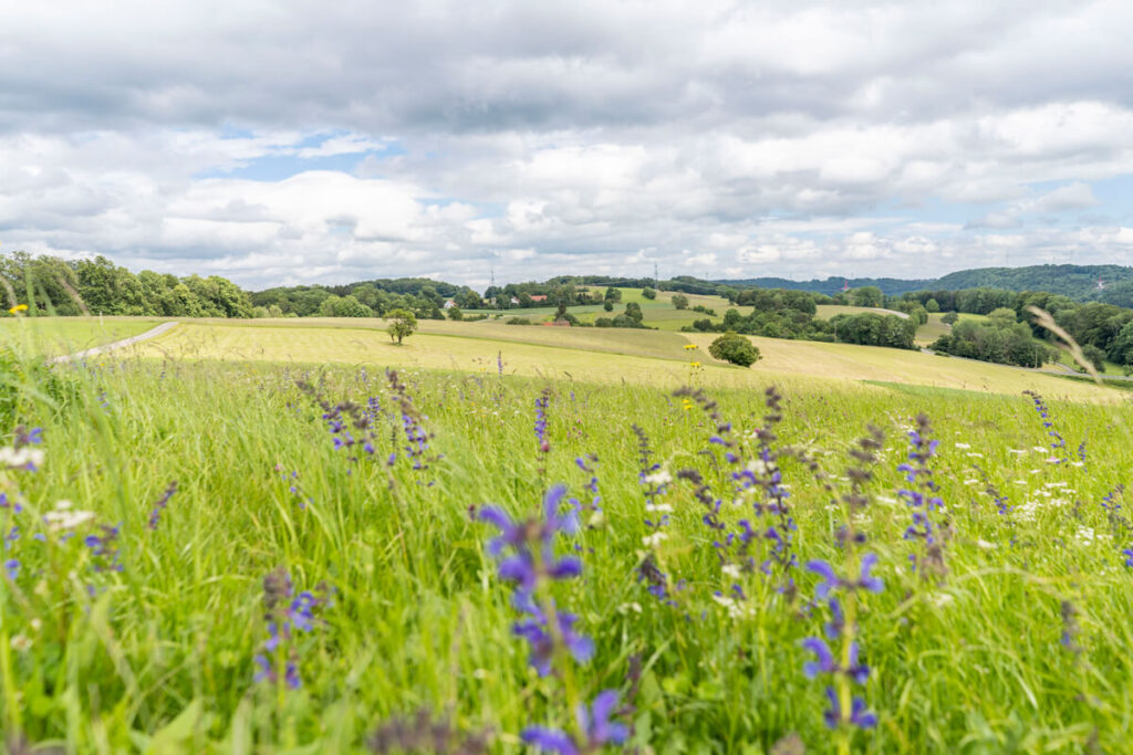
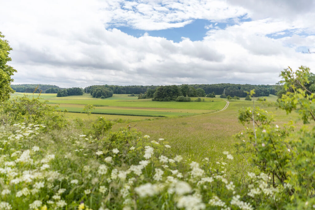
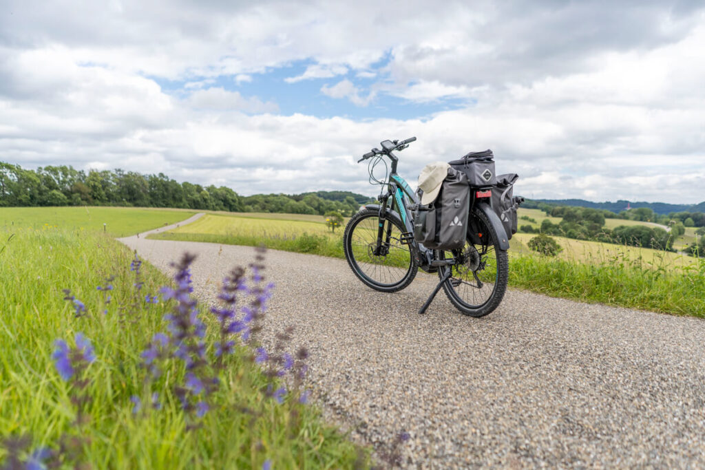
After this detour, it was time to head into the The landscape of the Swabian Alb. After a short walk through the town, we headed straight across the fields into idyllic greenery. We cycled past Donnstetten and continued along the Württemberg Valley Cycle Path toward Neidlingen.
This path reveals what makes the Swabian Alb so beautiful: a vast, green landscape. We particularly like the hills – you can either stand on one and enjoy a breathtaking view of the distance, or you can meander past the foot of the hills, taking in the stunning views.
Reußenstein Castle Ruins
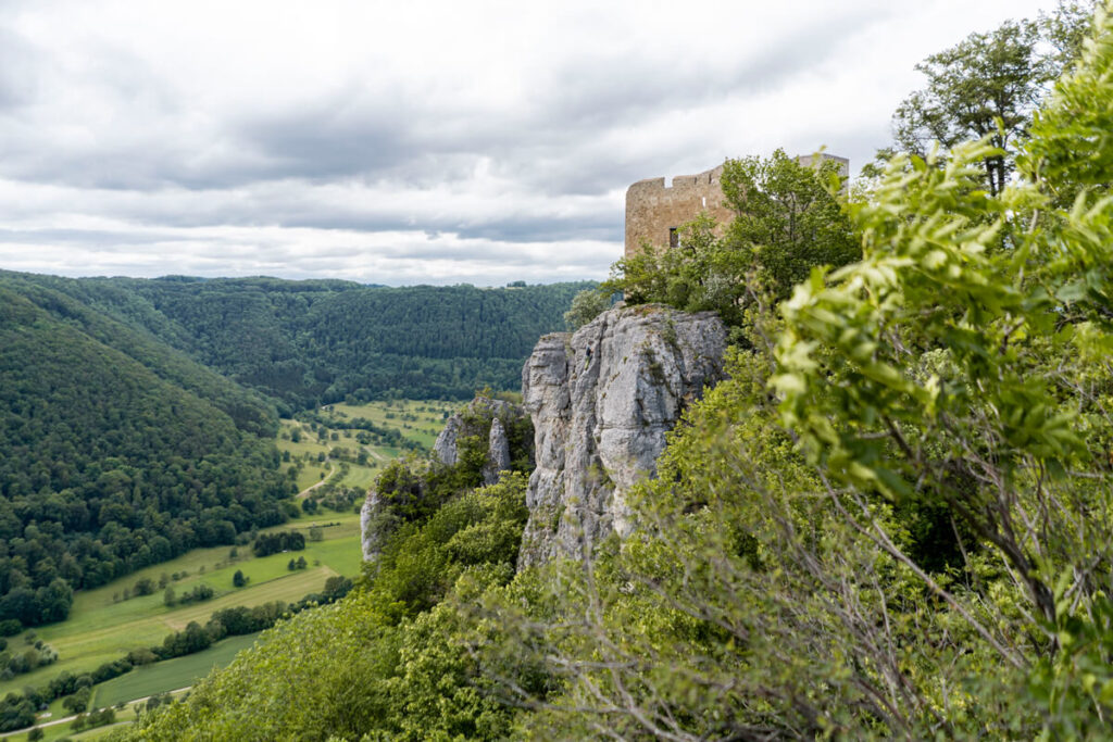
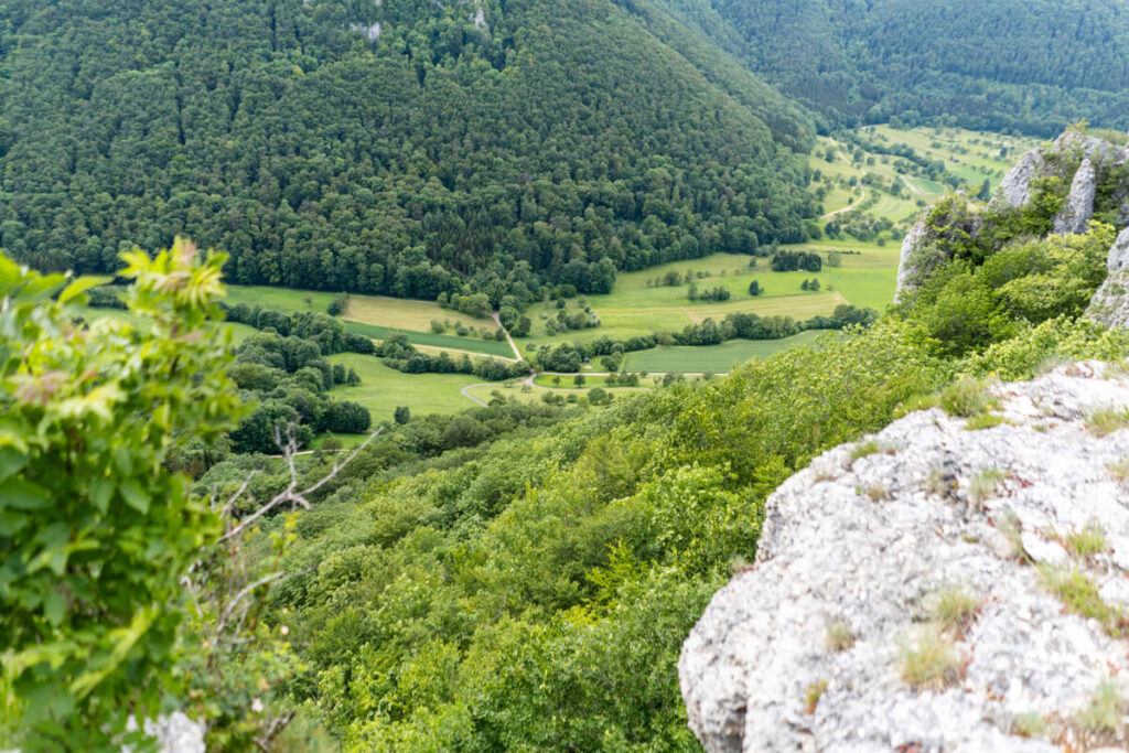
Before we sped down the almost 300 meters of altitude into the Neidlinger Valley, we made a stop at the Reußenstein Castle Ruins, built in 1270. It rises at the edge of the cycle path and literally towers over the Neidlinger Valley. The scenery invites you to take a break and take a snapshot or two. If you’d like, you can also examine the ruins up close, as they are open to the public at any time.
Not far from the ruins are the Neidlinger Waterfall and the “Zum Reußenstein” restaurant. Here you can buy farm products every day and stop by on the weekends. The courtyard offers numerous seats and tables.

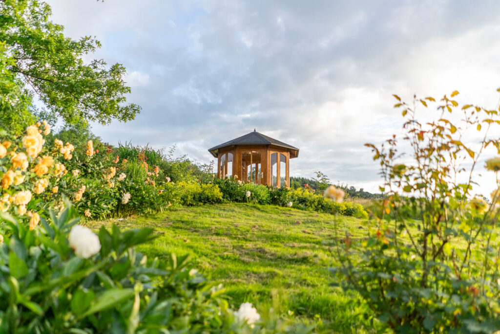
From the ruins, the cycle path led us further to Weilheim an der Teck, where we treated ourselves to a coffee and a pretzel at the quaint Hörner bakery. We cycled quite quickly for the last 10 kilometers, as it started to rain again. After about 43 kilometers, we reached our destination for the day – the spa town of Bad Boll. At the beautifully situated Badhotel Restaurant Stauferland, we rounded off the day in the wellness area and with good food in the hotel restaurant.
Stage 6: Bad Boll to Schwäbisch Gmünd
The final stage of the Württemberg Valley Cycle Route now lay ahead of us. 35 kilometers separated us from our final destination, Schwäbisch Gmünd. From Bad Boll, we cycled through the idyllic Filstal and Remstal valleys.
Officially, the stage has approximately 400 meters of elevation gain. A detour to the “Aasrücken Viewpoint” added another 250 meters. The view is worth it, though! And with the electric drive under your butt, it wasn’t all that strenuous in the end.
Info on Stage 6:
- Start/End Point: Bad Boll ☞ Schwäbisch Gmünd
- Total Length: 34.6 kilometers
- Duration: 2:30 hours (with photo stops & breaks 3.5 – 4.5 hours)
- Route: View the entire route here
- Seal of Quality: 4-Star ADFC Quality Cycle Route
- Equipment: Touring bike, drinking water, helmet, weatherproof clothing, GPS
- Highlights: Laichingen Deep Cave, Reußenstein Ruin, Swabian Alb Landscape
Start in Bad Boll
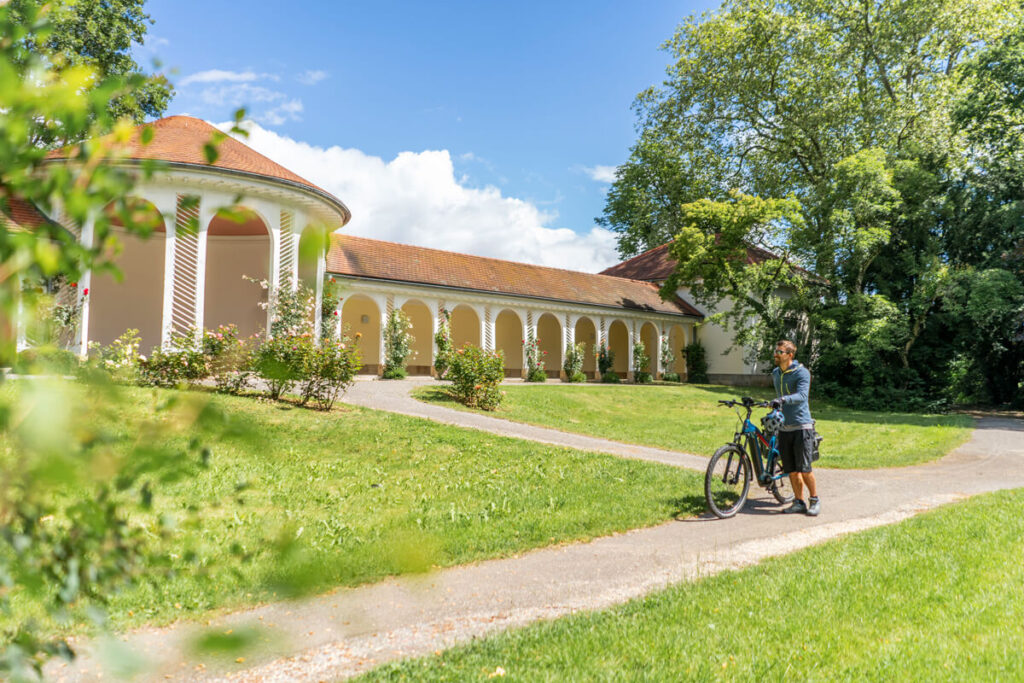
At the beautiful spa gardens in Bad Boll we swung We got back on our bikes and followed the quiet cycle path. Unfortunately, it didn’t last very long, as this stage repeatedly leads through villages. You’re rarely confronted with car traffic, but as fans of wide open spaces, we didn’t quite get our money’s worth.
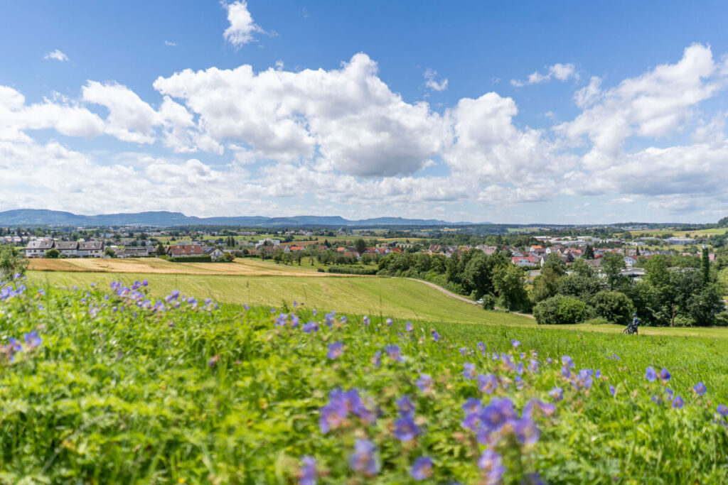
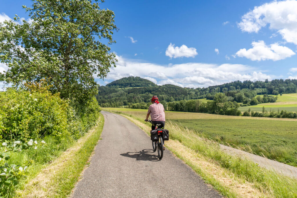
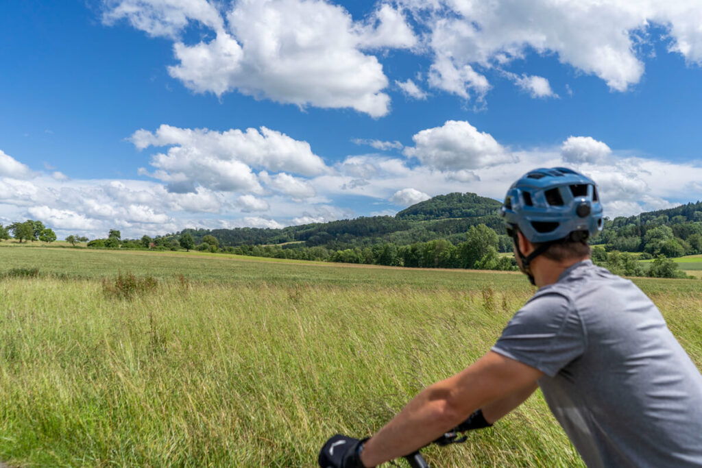
Nevertheless, the last stage also had its highlights. Between the towns, you have a wonderful view of the three distinctive Kaiser mountains: Hohenstaufen, Rechberg, and Stuifen. The short stop in Rechberghausen was also great, as was Schwäbisch Gmünd as the destination of the entire Württemberg Valley Cycle Route.
Rechberghausen
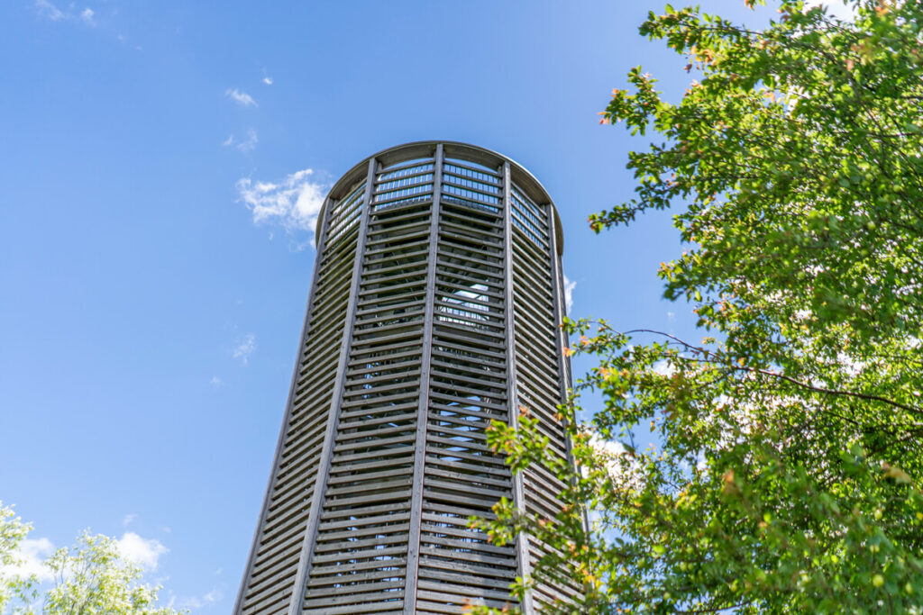
After about 12 kilometers, the tour led through the tranquil village of Rechberghausen, where we immediately took a short break. Before stopping for a bite to eat, we recommend a quick detour to the Luftikus – a nearly 12-meter-high observation tower. Once you’ve climbed the spiral staircase, you’ll have a fantastic view of Rechberg and the green surroundings.
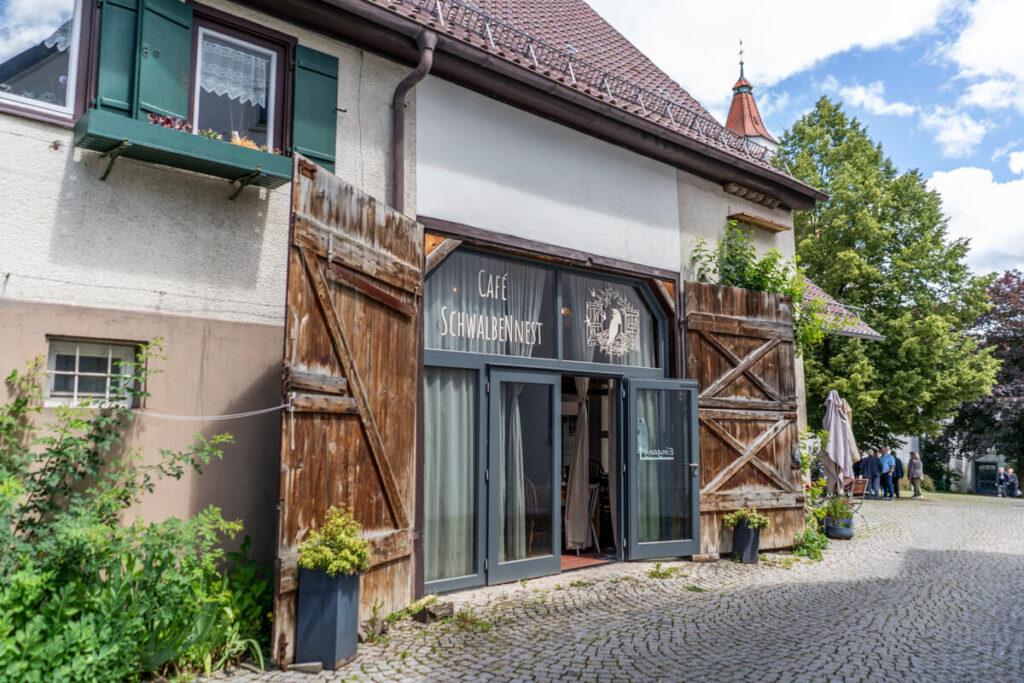
Afterward, there are several options for refreshments. We chose the super cute Café Schwalbennest and were absolutely thrilled. In addition to the large selection of homemade cakes, the coffee was also truly delicious. We sat outside on the small terrace, where we could enjoy our break (somewhat secluded from the street noise) in peace.
Aasrücken Viewpoint
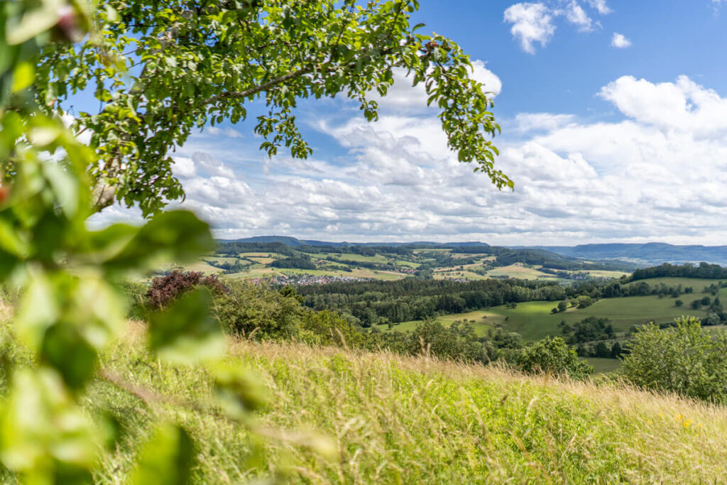
Well fortified, we followed the cycle path towards Schwäbisch Gmünd. With a beautiful view of the Hohenstaufen, we decided on a “sporty” detour to the Aasrücken Viewpoint. At the village of Maitis, the road winds its way up the mountain to the viewpoint in switchbacks – a quite strenuous section even with an e-bike.
Once at the top, you will be rewarded with a fantastic view of the Ottenbach Valley and the Remstal. You can also spot the famous Wäscherschloss, the Rechberg, the Hohenstaufen, and the Stuifen. For us, the section between Rechberghausen and Schwäbisch Gmünd was the most scenic part of the stage.
Schwäbisch Gmünd
We arrived in Schwäbisch Gmünd in the early afternoon in perfect weather. Our speedometer now showed 199 kilometers. Wow! A bit more than we expected. After the last few kilometers were pleasantly flat downhill, the Württemberg Valley Cycle Path finally ended for us at the Schwäbisch Gmünd train station.
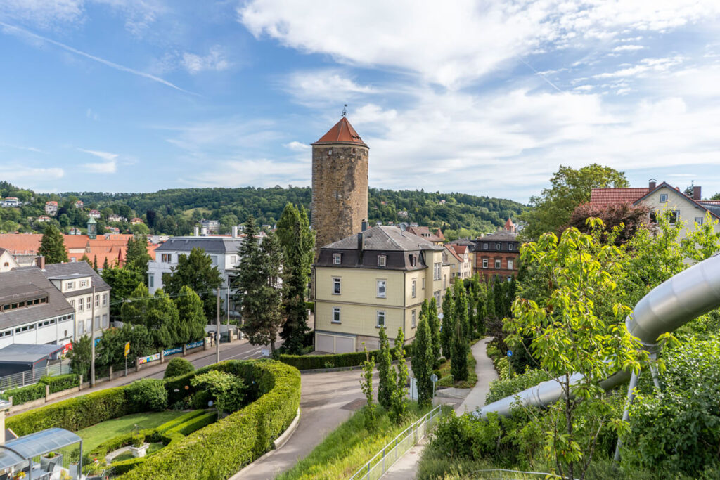
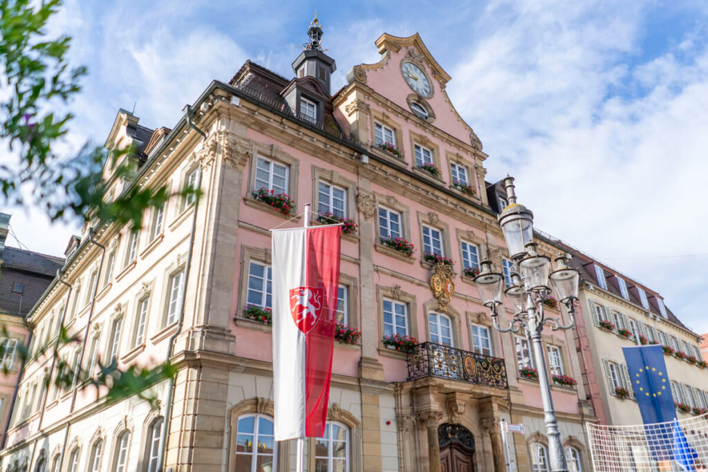
Even if you don’t have to start your journey home immediately, we recommend you linger a while in the city. Schwäbisch Gmünd totally surprised us. The old town boasts magnificent patrician houses, six city towers, numerous monasteries and churches, a charming city garden, remarkable fountains, and viewpoints.
We highly recommend the beer garden on Zeiselberg. From there, you have a beautiful view over the rooftops of the historic Staufer town. In summer, the Rems beach, with its small beach bar and loungers, invites you to linger. The roof terrace of the centrally located Hotel am Remspark is also really cool, and you can also enjoy a fantastic view from there.
Tips for Schwäbisch Gmünd:
- Dinner in the Rococo palace
- Sip a nightcap in the beer garden on the Zeiselberg
- Stroll through the city garden
- Market square with pretty half-timbered houses
- Excursion to the “Himmelsgarten” park
- View from the walkable Johannisturm
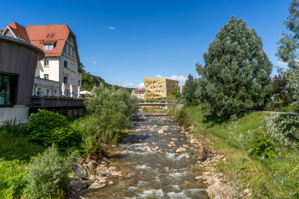
- Forum “Gold and Silver”
On the move with the AlbCard
We used the AlbCard, a tourist card offered in the Swabian Alb. This card offers numerous discounts and free services during your stay. A particularly attractive feature of the AlbCard is free use of public transport in the region. This makes it easy to explore the Swabian Alb without any additional ticket costs.
Another highlight of the AlbCard is free admission to 170 attractions and experiences. These include the Skypark climbing forest, the Bud Spencer outdoor pool, the Cave Adventure World, the Prehistoric Museum in Blaubeuren, the Laichingen Deep Cave, the AlbThermen Bad Urach, and the Bear Cave. You can even rent an e-bike for free with the card. ☞ You can find all the highlights of the AlbCard here.
You will receive the AlbCard upon arrival at one of the 152 participating hotels, inns, vacation apartments, and other accommodations in the Swabian Alb. With the AlbCard, you can use each attraction once per stay. You have one day of use for each overnight stay. For example, if you have booked 3 nights, you can use the card on 3 consecutive days. The best part: The AlbCard is completely free for you!
Our accommodations along the cycle path
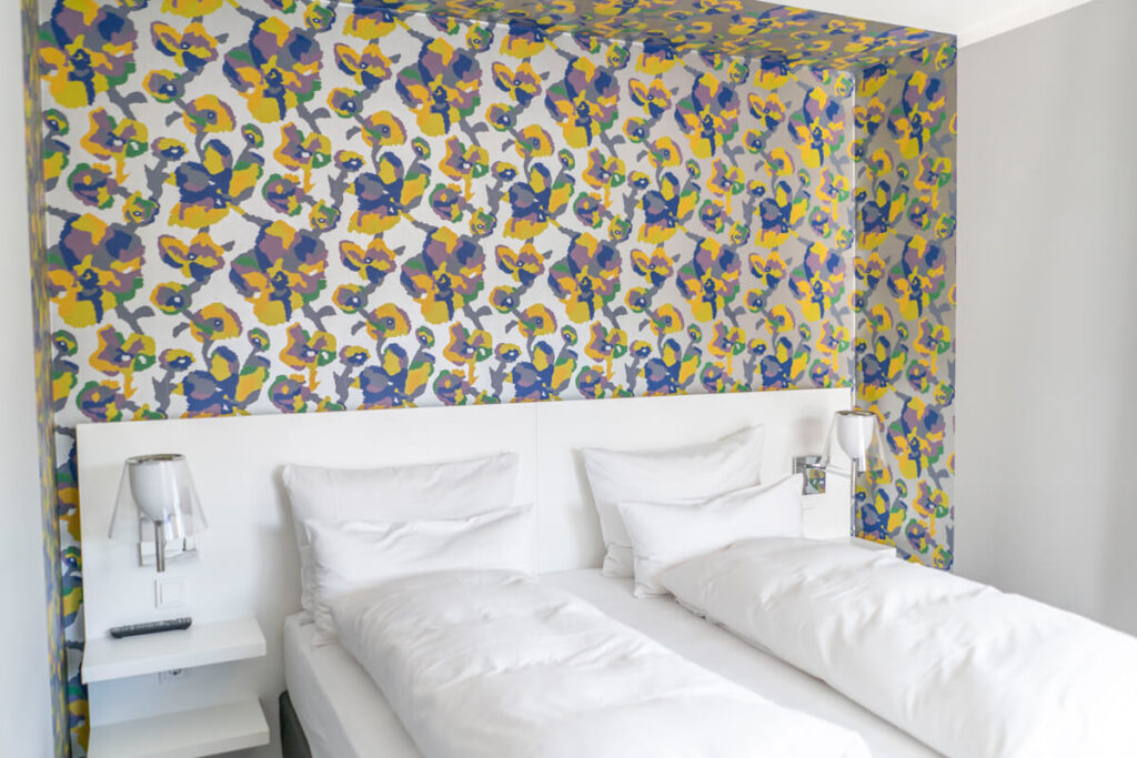
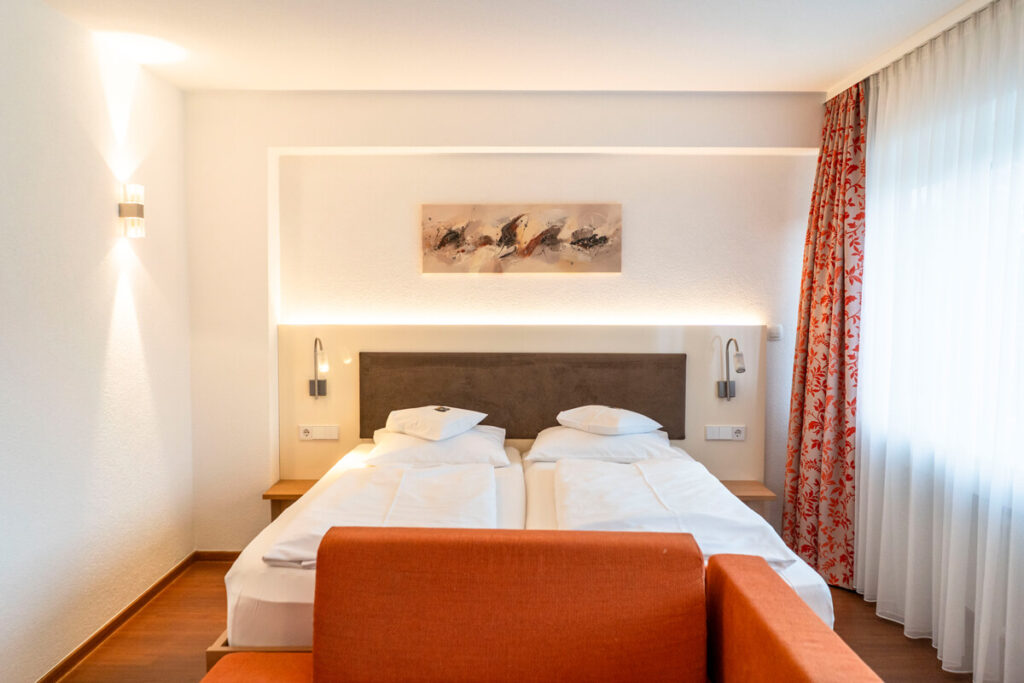
During our cycling tour on the Württemberg Valley Cycle Path, we stayed in five different accommodations, which we would like to briefly introduce to you below.
1. Stadthotel Giengen
The Stadthotel Giengen* is quietly located not far from the old town. It features brightly furnished rooms with modern bathrooms with showers. Some rooms even have a balcony. You can enjoy a delicious dinner in the in-house restaurant, La Cucina. A varied breakfast buffet is offered in the morning. We were able to park and charge our bicycles in the garage.
2. Ulmer Münster Hotel
The small but fine Ulmer Münster Hotel* is located directly opposite Ulmer Münster. We had a small room with a double bed and a spacious bathroom. We particularly liked the breakfast room with a small terrace. In the morning, there was a very good breakfast buffet with regional products. We were able to park and charge our bicycles in the garage. In terms of location, the hotel is hard to beat!
3. Hotel Post Laichingen
The Hotel & Restaurant Post* is located about 5 km outside of Laichingen in the Alb municipality of Feldstetten. The hotel has many rooms – some rather old-fashioned and uncharming, others very modern and new. Unfortunately, we had a less than inviting room. It’s best to call and ask if it’s relevant.
We were, however, pleased with the small wellness area with sauna and fitness area. The hotel’s own restaurant serves excellent dinner. The breakfast buffet in the morning was also very good. We were able to park our bikes in the adjacent barn and charge them overnight.
4. Badhotel Restaurant Stauferland
The Badhotel Restaurant Stauferland* is situated in a wonderfully quiet, semi-elevated location, nestled in the typical orchards. The hotel has single, double, and family rooms. We had a large, modern room with a double bed, sofa, TV, closet, and bathroom with shower.
The hotel also has a small wellness area with an indoor pool and sauna. The hotel’s own restaurant serves delicious, regional dishes.Regional dishes and a good breakfast buffet in the morning. Tip: The sunset from the terrace is truly beautiful. We were able to park and charge our bikes in a garage.
5. Hotel am Remspark
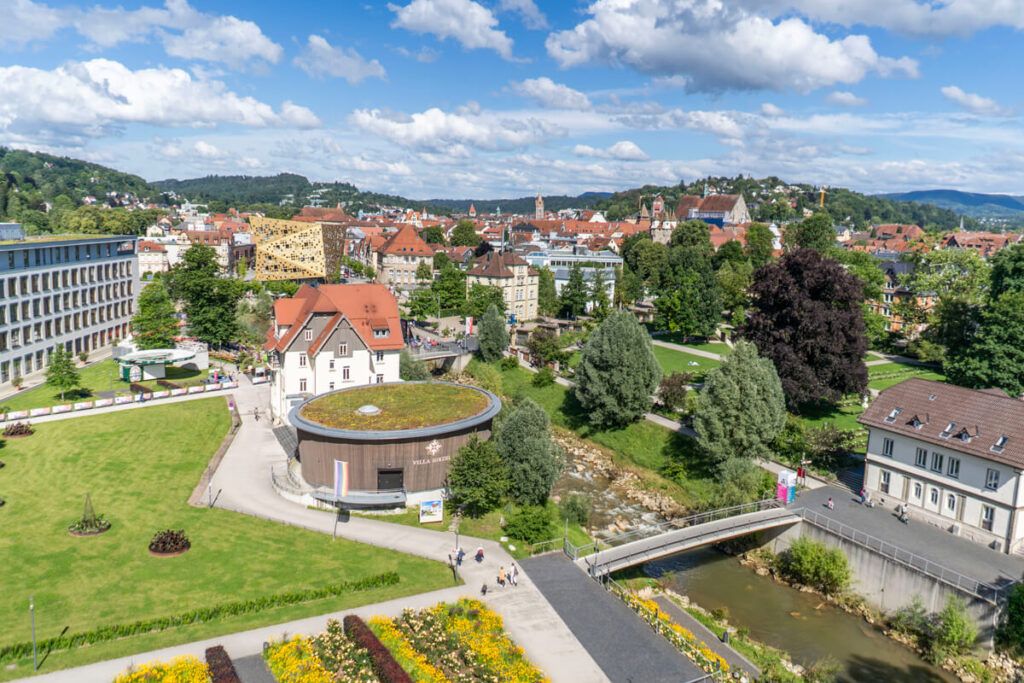
In Schwäbisch Gmünd, we stayed at the Hotel am Remspark*. This modern city hotel boasts a fantastic rooftop terrace, from which you can enjoy views of the entire city. There’s also a fitness center, private parking, a business center, and a restaurant. The rooms are modern and have a seating area, double bed, air conditioning, TV, WiFi and bathroom.
Packing list & Bicycle Panniers
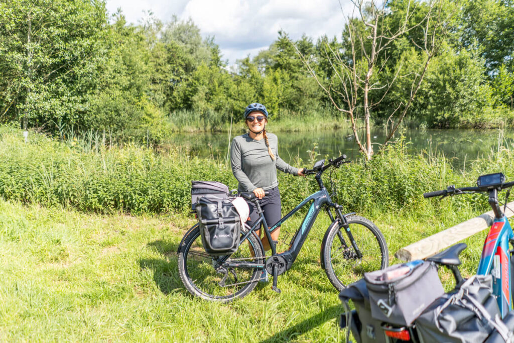
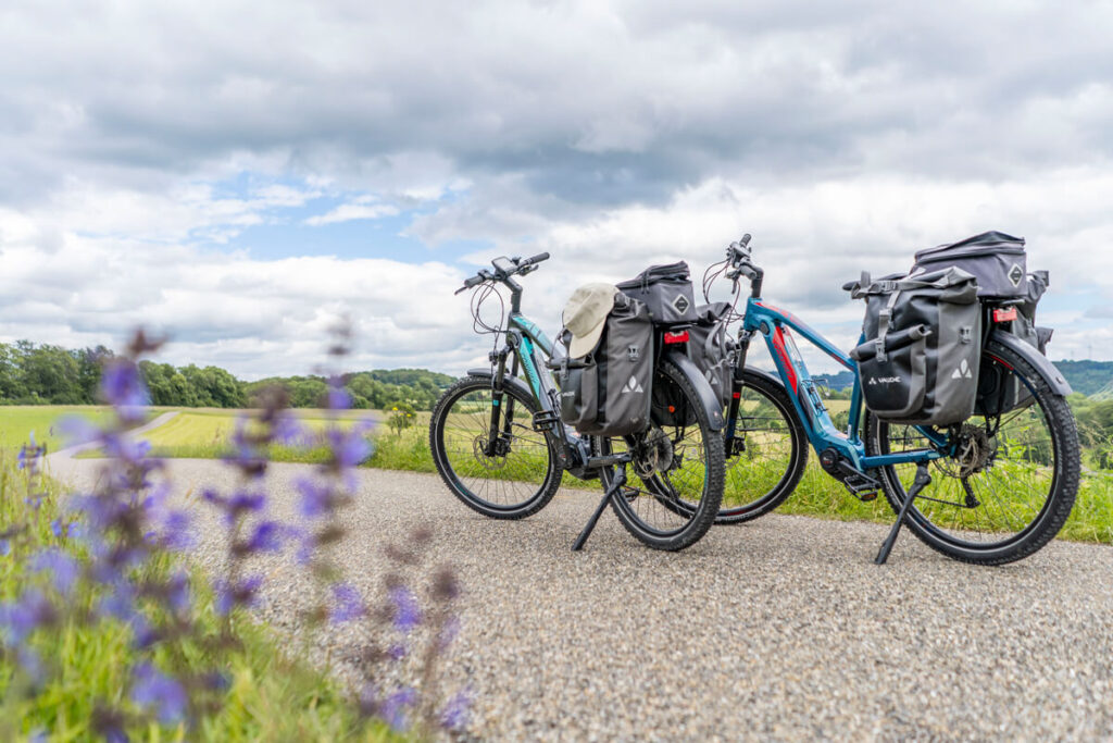
Naturally, we wanted to be as well-equipped as possible for our bike tour on the Württemberg Valley Cycle Path. We rented two large panniers for each bike from Vaude beforehand. You can rent quite a bit of equipment online through their website, which is pretty cool. We also both wore padded cycling pants from Vaude (see Bolle’s pants here*). These can be easily worn under your regular clothes.
A cell phone mount on the bike* is also practical, allowing you to easily navigate along the way. Unfortunately, we didn’t have one, which is why we had to stop frequently to check the route. The cycle path is also very well signposted. Rain pants and a rain jacket are also handy if it suddenly starts to rain. Rain ponchos are also an option, although they’re not as practical when cycling.
Other items in our luggage included: cycling gloves*, helmet, repair kit, air pump, functional shirts (made of merino wool), windbreaker, comfortable pants (long & short), swimwear, travel towel, toiletry bag, sunscreen, and sunglasses. The panniers were already included with our rental bikes.
Württemberg Valley Cycle Route – Our Conclusion
With a few detours, we had a whopping 199 kilometers on the clock at the end of our trip. It was our first multi-day cycling trip together, and we thought it was really cool. Of course, also because we were able to cycle through Marco’s beautiful hometown. The stages were the perfect length for us, and we were able to explore plenty of highlights along the way.
The journey on the Württemberg Valley Cycle Route is relaxing and leads through the diverse landscape of the Swabian Alb in Baden-Württemberg. We particularly enjoyed the charming valleys, the charming towns, and, of course, the culinary specialties. We can 100% recommend this tour!