What an incredibly beautiful tour through Iceland. Every day was surpassed by the next. Not a day went by without us being speechless. Since we were so lucky with the weather, we thanked the weather forecaster every 10 minutes. After exploring the beautiful Vatnsnes Peninsula, visiting the charming town of Siglufjörður in the north of Iceland, watching whales in Hauganes, and exploring the stunning area around Myvatn, we continued on to east Iceland. Now the landscapes changed, and we left the desert-like expanses behind us. Today we’ll tell you about our highlights in the East Fjords and what we can recommend.
Other important Iceland topics:
- Driving in Iceland
- Camping & Camping in Iceland
- Iceland’s Sights
- Currency in Iceland
- Best time to travel to Iceland
- Routes for 7 and 14 days
- Costs for our trip
- Our Iceland country page
- The South of Iceland
- The Vatnsnes Peninsula
- The North of Iceland
- The Westman Islands
- The Southeast of Iceland
- Reykjavik Highlights & Tips
- The Golden Circle
- Preparing for Iceland
- Other important Iceland topics:
- The largest city in the east – Egilsstaðir
- The sea monster of Iceland in Lagarfljót
- The hike to the beautiful Hengifoss
- Iceland’s east – Hallormsstaðaskógur
- The beautiful town of Seyðisfjörður
- The East Fjords and the Panorama Road
- The most important facts at a glance
- Conclusion on Iceland’s east
- Our travel diary on YouTube
The largest city in the East – Egilsstaðir
We started our trip that day from the campsite in Möðrudalur. After about 90 minutes, we reached Egilsstaðir, the largest city in eastern Iceland. It’s not exactly a feast for the eyes, but at least we were able to fill up with gas and do some shopping. You’ll find a Bónus and a Nettó here. It’s best to choose the Bónus, as it’s actually the cheapest. You can read all about our costs here.
Egilsstaðir also has a local swimming pool, which costs only 700 ISK to enter. There’s also a small airport here, from where you can fly to Reykjavik with Air Iceland Connect. That’s about it for this city. From here, it’s not far to the northeast and the East Fjords.
Iceland’s Sea Monster in Lagarfljót
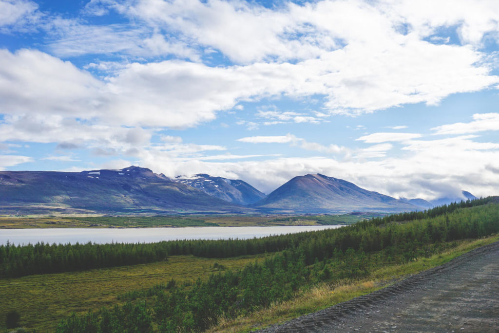
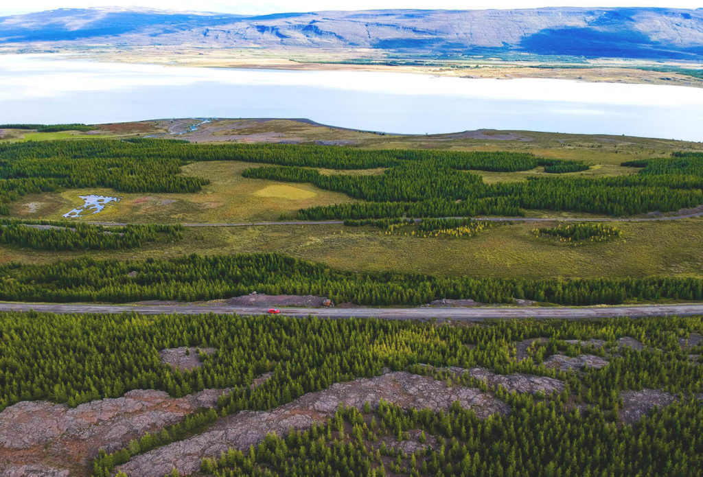
We left the Ring Road in Egilsstaðir and turned onto Route 931. At first, a paved road took us through the countryside. Eventually, however, it turns into a gravel road, which is still easy to navigate. Next to us was the large Lake Lagarfljót with its equally large forest area surrounding it. Everything felt as if we were traveling in Canada. We also spotted snow-capped peaks on the horizon. Simply beautiful.
Since Viking times, a terrifying monster is said to have lived in this lake, namely the Lagarfljótsormur (a giant worm). The last recordings of this creature were supposedly made in 2012. The video has more than 5 million views on YouTube. But regardless of whether a monster worm lives here or not, the lake is a very beautiful destination. You can drive around the lake (approximately 70 kilometers). A few cool highlights await you along the way.
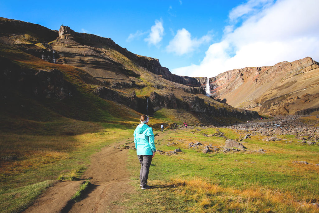
The hike to the beautiful Hengifoss
Behind the bridge over the Lagarfljót waterfall, on Road 931, there is a parking lot where you can park your rental car. From there, a beautiful hike to Hengifoss begins. It is the second highest waterfall in Iceland and is particularly impressive due to the surrounding natural scenery. Here, the water plunges a full 118 meters into the depths. In the gorge itself, the water is channeled down another level (via Litlanesfoss). You should plan 2 hours for the hike. Bring your empty water bottles! There are numerous ways to refill your tank with natural water.

If you don’t drive around the lake but continue along Road 934, you’ll eventually arrive at the Wilderness Center. Here, you’ll find great hiking trails, exceptional accommodations, local food, and horseback riding. On the edge of the Eastern Highlands, you’ll also find some incredibly stunning views.
Eastern Iceland – Hallormsstaðaskógur
And while you’re in the area, you’ll also find yourself in Iceland’s largest contiguous forest area, also called Hallormsstaðaskógur. This area is located on the eastern side of the lake. There’s no such thing as a “forest” in Iceland, which makes the scenery here by the lake all the more beautiful. As mentioned at the beginning, we felt like we were somewhere in Canada (even though we’ve never been there).
The beautiful town of Seyðisfjörður
After our trip to Lagarfljót and Hengifoss, we made our way to Seyðisfjörður. The next campsite awaited us there. This small town is picturesquely situated between the mighty mountain ranges of the East Fjords. The journey there alone was spectacular, as we first had to drive over the mountain pass. Shortly before we reached the charming town, we spotted the Gufufoss waterfall on our right. It must be said that waterfalls are truly everywhere in Iceland. At some point, we stopped counting them.
Colorful houses, waterfalls, the harbor, and small shops make this place very special. The Smyril Line ferry from Denmark arrives here with a stopover in the Faroe Islands. Many vacationers reach Iceland this way in their own car or campervan. Prices vary greatly and depend on the vehicle and booking period. Two young students paid a total of €1,600 including a small car, while two friends from Italy paid €2,500 for themselves and their SUV.

Seyðisfjörður is known for its handicrafts and individually designed products. You’ll often see small studios selling knitwear, designer household goods, handicrafts, and small gifts. The town is also known for the colorful stripe on the way to the church. It’s probably one of the most popular photo motifs in the area. Of course, we took a picture of it, too. We highly recommend the campsite. Although it was quite crowded, as many people had to take the ferry the next day, we still had everything we needed here. You can find out everything about camping in Iceland here.
The East Fjords and the Panorama Road
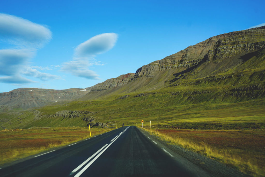
After our night at the campsite in Seyðisfjörður and a leisurely stroll through the town, we continued on. We spent almost all of this day in the car, as we had a long journey ahead of us (the longest of the entire trip). Our destination was the southeast of Iceland. Almost 330 kilometers lay ahead of us. From Seyðisfjörður, we drove back to Egilsstaðir and back onto the Ring Road.
We actually wanted to go to the Mjóifjöðdur fjord, but the clouds were so low that we wouldn’t have seen anything anyway. The fjord is surrounded by spectacular cliffs and numerous rushing waterfalls. At least, that’s what the guidebooks say. The road there is also said to be unpaved, which is quite a challenge for a car. There are many great hiking trails around the fjord. We’ll make up for that next time.
Break in Stöðvarfjörður
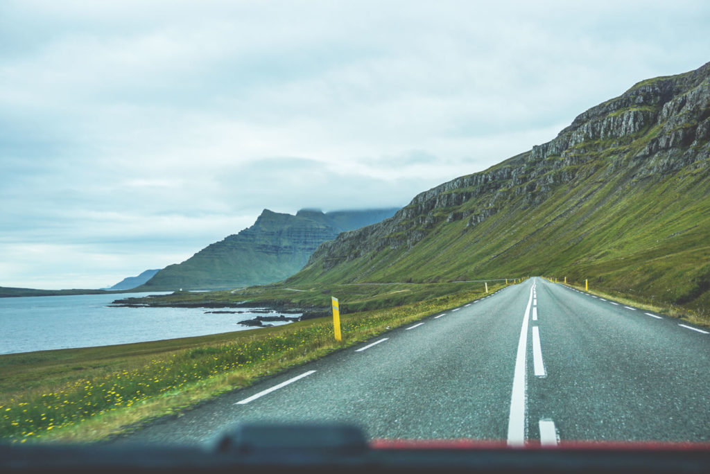
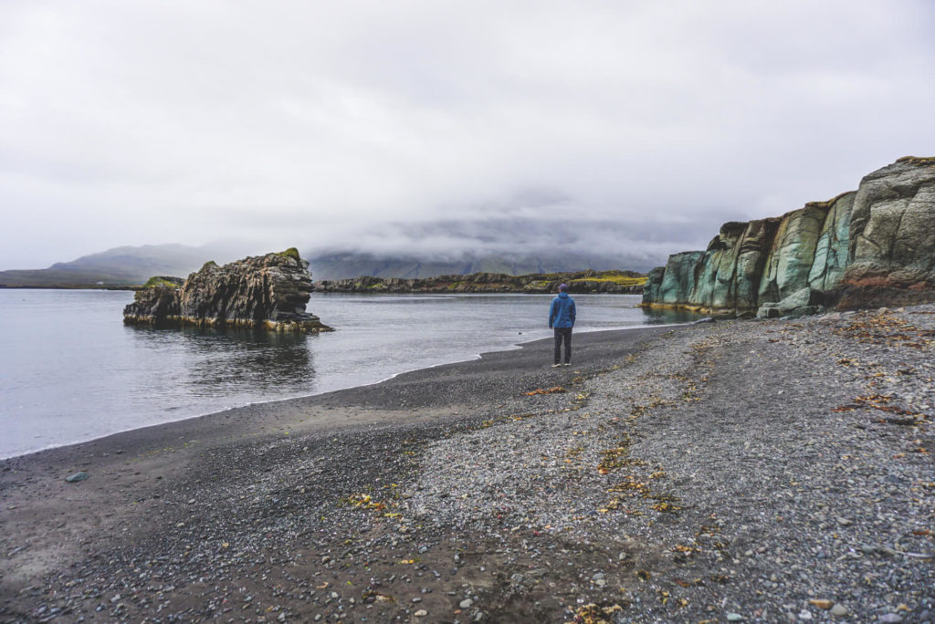
We took a break in Stöðvarfjörður at the café of the “Petra’s Stone Collection” museum. Here, you can get a cappuccino including refills for 400 ISK (very reasonable for Iceland). You can also use the restroom on site. The route then led us past Reyðarfjöðdur, Eskifjörður, and Neskaupstaður. Shortly before the Öxi Pass (Road 939 – apparently not suitable for small cars!!!), the Ring Road branches off towards the coast and winds its way along the water from there. Slowly, the landscapes became greener and greener. We felt like we were crossing a Hobbit film set. Although the clouds hung very low, the landscapes still looked impressive.
Fjord after fjord, we made our way southeast. We passed Breiðdaslheiði, Breiðdalsvik, and Havari until we finally reached Djupivogur. The tour to Papey Island starts there, by the way. Today, only seals, seabirds, and a flock of puffins live there. The tour operator Papeyjarferðir offers 4-hour tours to the island.
We repeatedly had to park the car and take in the surroundings. A waterfall here, a black beach there, steep cliffs here, mighty mountains there. Incredible! And before we knew it, we reached the southeast of Iceland. You can find all the information and highlights in the next post.
The most important facts at a glance
- Route: Seyðisfjörður to Svinafell 330 km
- Driving time: 5 to 8 hours (the road drags on like chewing gum)
- Camping: Seyðisfjörður, Egilsstaðir, Mjóifjörður, Eskifjorður, Fáskrúðsfjörður, Höfn and more
- Accommodations: Post Hostel*, Hótel Snæfell*, Hafaldan HI Hostel*, Langahlid Cottages & Hot Tubs*
- Supermarket: Egilsstaðir and smaller shops in the fjord towns
- Fueling: Egilsstaðir and gas pumps distributed along the route
- Camping Card: After the East Fjords, there’s no more space until Vík!
- Tours: A large selection of tours is available at Guide to Iceland*
Conclusion on Eastern Iceland
Eastern Iceland is truly incredibly beautiful. While the weather wasn’t perfect on those days, the scenery looked simply stunning even in the fog and rain. If the weather had been better, we would have loved to go hiking. But what hasn’t happened yet, might still happen. We particularly enjoyed the hike to Hengifoss, the drive over the pass to Seyðisfjörður, the town itself, and the coastal road heading southeast.
If you’re driving east from Myvatn, you should plan at least one overnight stay in Seyðisfjörður. From there, you can then drive the long distance more comfortably the next day. The only downside was that the camping card didn’t include an additional site between Seyðisfjörður and Vík. So we had to pay extra for another night in Svinafell (but that wasn’t a big deal). But you can, of course, head to another spot much earlier (e.g., Höfn). You can find all the information about camping in Iceland here.
Our travel diary on YouTube