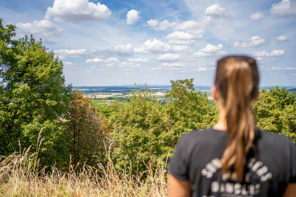
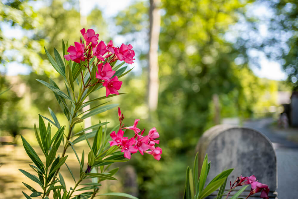
While last year we explored the enchanting Southern Black Forest, this summer we explored the open space of Baden-Württemberg. We explored the Odenwald, Hohenlohe, Schwäbisch Hall, Kraichgau, and Stromberg regions, sometimes on foot and sometimes by bike. We discovered the rolling hills of the north, beautiful half-timbered towns, lush forests and meadows, pristine river landscapes, charming little villages along the way, and plenty of historic buildings from times long past.
In today’s post, we’d like to take you on a virtual journey and tell you about our experiences on three different long-distance hiking trails in the open space of Baden-Württemberg. Of course, we’ll also share our personal highlights, restaurant, and hotel tips with you. On this trip, we once again discovered how incredibly fun it is to explore our own country. Baden-Württemberg always surprises us with its incredible variety of options. Where were you last in Baden-Württemberg? Let us know in the comments.
- Long-distance hiking in the open spaces of Baden-Württemberg
- 1. “Eppinger-Linien-Weg” long-distance hiking trail
- 2. “Bühlertalwanderwerg” long-distance hiking trail
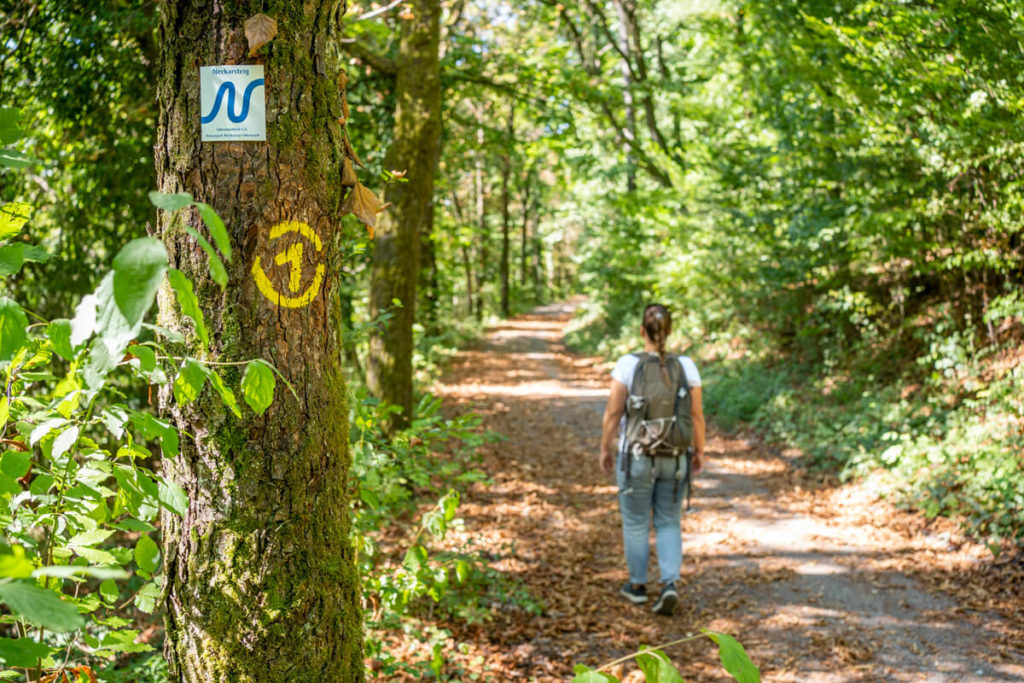
- 3. “Neckarsteig” long-distance hiking trail
- Long-distance hiking in the open spaces of Baden-Württemberg – Our conclusion
Long-distance hiking in the open spaces of Baden-Württemberg
On the map below, we have roughly marked our tours so that you can see exactly where in the state we were. We’ve customized the stages of each hike. In general, you’ll find a wide variety of hiking options in the Baden-Württemberg region and the rest of the state. There’s an incredible amount to discover on the more than 20,000-kilometer-long network of hiking trails, whether around Lake Constance, in the Black Forest, in the Allgäu region of Baden-Württemberg, around Stuttgart, in the Swabian Alb, in the Odenwald, and in the lovely Tauber Valley. Hiking is practically on the agenda everywhere!
By loading the map, you accept Google’s privacy policy.
Learn more
Load map
1. “Eppinger-Linien-Weg” long-distance hiking trail
The “Eppinger-Linien-Weg” long-distance hiking trail is approximately 42 kilometers long and leads from Eppingen via Kürnbach and Maulbronn to Mühlacker. Around 30 years ago, this long-distance hiking trail was signposted as a cultural-historical hiking trail along the Eppinger Lines. The Eppingen Lines were a fortified defensive line built in 1695 under “Türkenlouis” (Ludwig Wilhelm of Baden-Baden) to prevent French raids during the War of the Palatinate Succession.
On a hike, you’ll discover several historical structures, such as the well-preserved remains of a fortification or reconstructed wooden watchtowers. In addition, 10 sculptures by the Gemmingen artist Hinrich Zürn, which convey the aforementioned themes, are located along the trail. Anyone who would like to learn more can learn more about the historical background at the Eppingen Town and Half-Timbered House Museum.

- Start/end point: Eppingen train station / Mühlacker train station
- Waymarking: white sign with a black tower
- Total length: 41.9 kilometers
- Duration: 10 to 12 hours
- Route: View the entire route here
- Seal of quality: Qualitätsweg Wanderbares Deutschland
- Hiking recommendation: 2 or 3 daily stages (e.g. with a daily destination in Sternenfels)
- Equipment: Sturdy hiking boots and daily provisions
- Highlights: Maulbronn Monastery, vineyards, Sternenfels Castle Hill, Eppingen
Start in Maulbronn
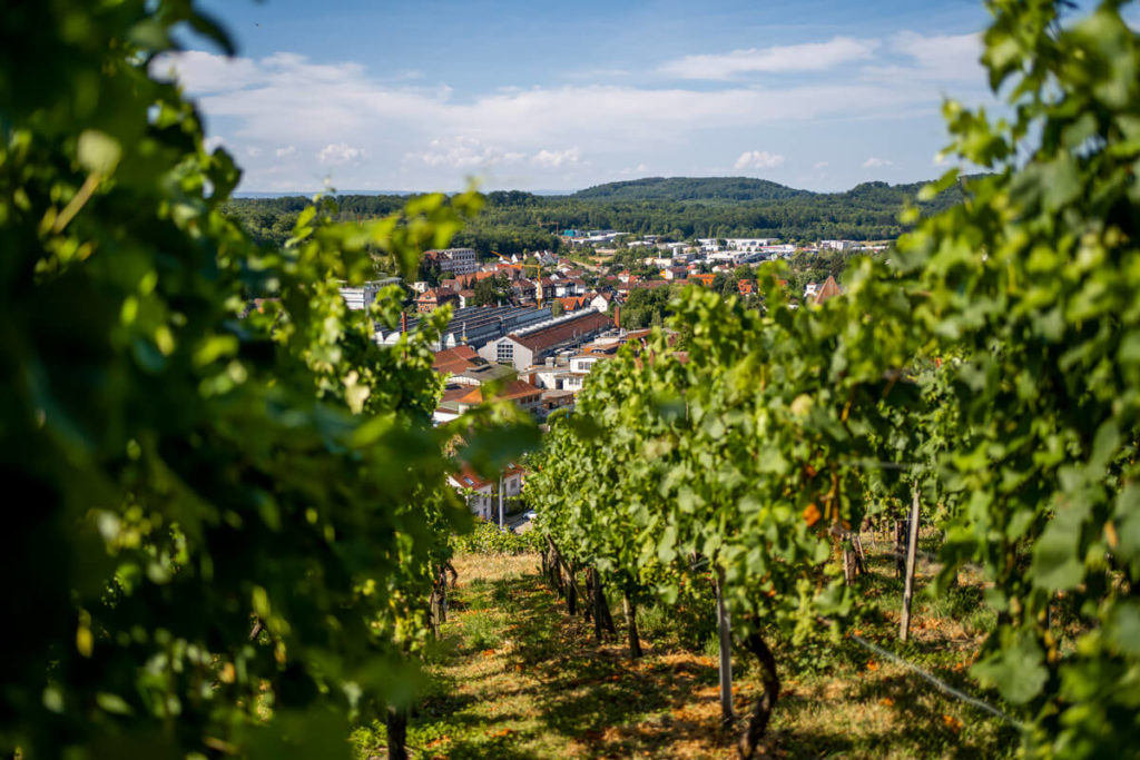
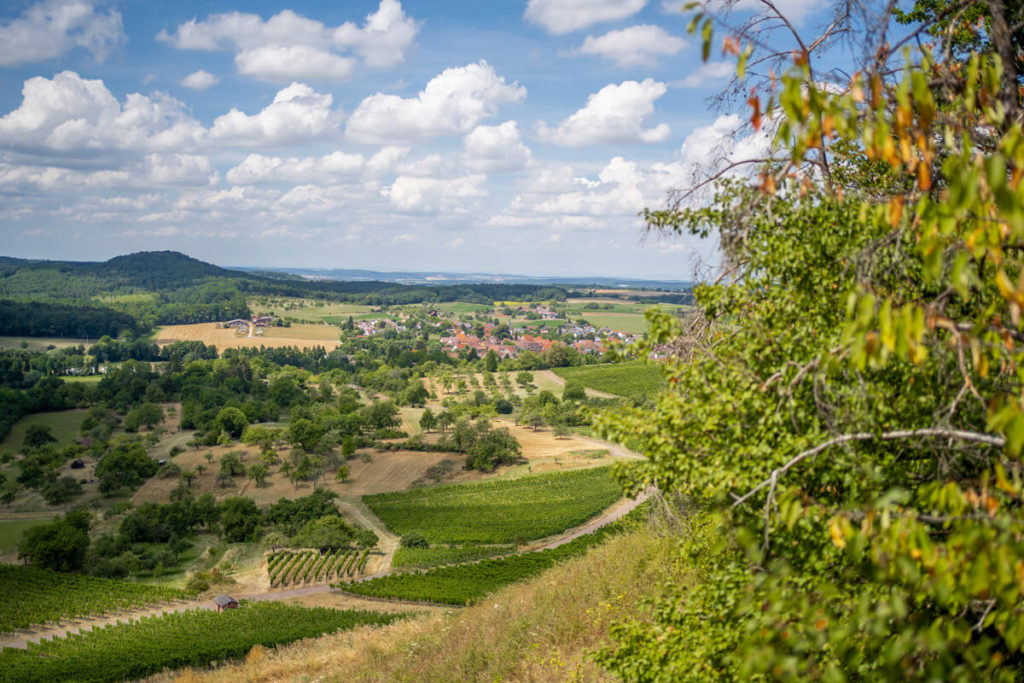
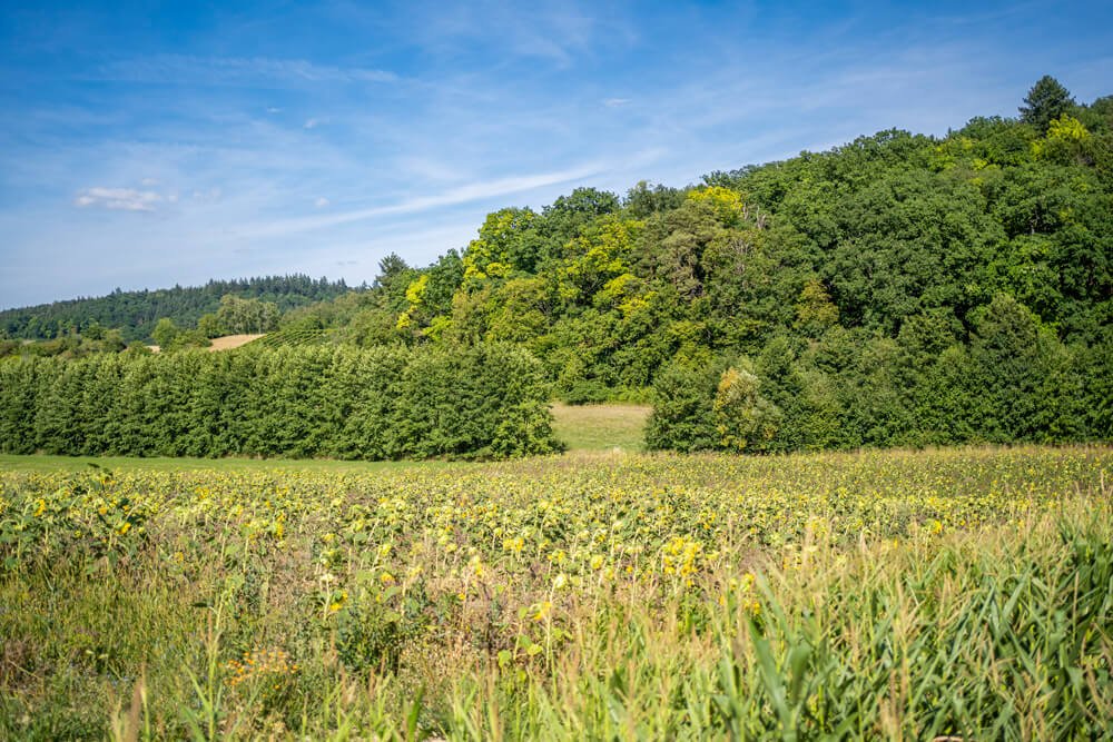
To get an impression of this hiking trail, we went from Maulbronn to Kürnbach, 17 kilometers away. Right at the beginning, the path led us up to the Maulbronn vineyards, which offered us a magnificent view of the town. We actually wanted to visit Maulbronn Monastery first, but unfortunately we didn’t have enough time. But it’s supposed to be really worth seeing. So we continued hiking on mostly gravel forest paths through the shady Stromberg-Heuchelberg Nature Park with its gentle hills, which is why the region is also called the “Land of 1000 Hills.”
Picnic with wine tasting
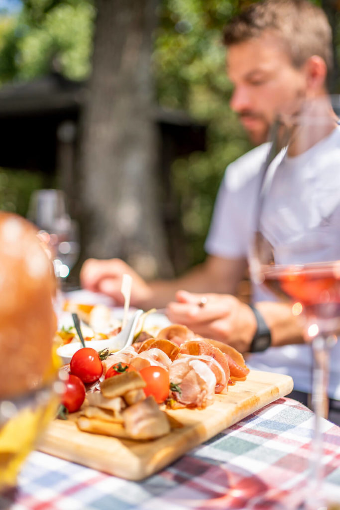
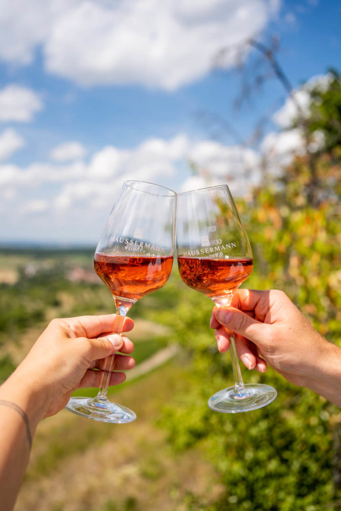
Halfway through, we were welcomed by the Häußermann Winery with We were surprised by a wonderful picnic in the vineyards. We made ourselves comfortable at the König viewing platform while the table was set with countless delicacies. Of course, a glass or two of wine was also a must. The weather was almost perfect, if a little too hot. The short culinary break with a wonderful view was very welcome, and after about an hour, we were able to continue our hike feeling refreshed. The nature park’s motto is: “Wine. Forest. Well-being.” , which couldn’t be more apt.
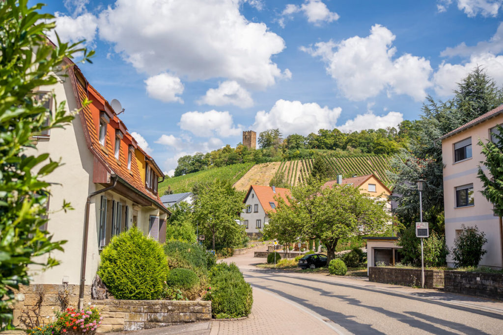
Sternenfels and Schlossbergturm
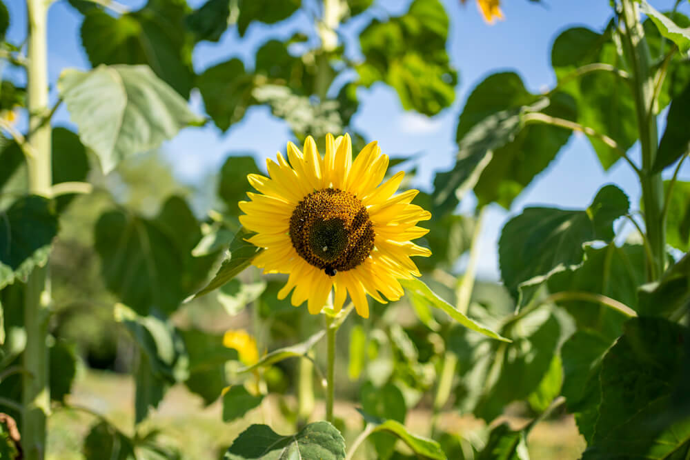
The last leg of the long-distance hiking trail led us past lush meadows, several sunflower fields, and vineyards to the small village of Sternenfels, where we took a break and enjoyed the fabulous view from the forecourt of the Schlossbergturm. Unfortunately, the 14-meter-high observation tower was closed that day, but the view from the “hill sofa” was also worthwhile. From there, we still had 4 kilometers to go before we reached our destination for the day. We particularly enjoyed the varied natural landscape with its fantastic views over the hilly landscape of the Kraichgau region, as well as the many small details along the trail.
Arrival and Overnight Stay in Kürnbach
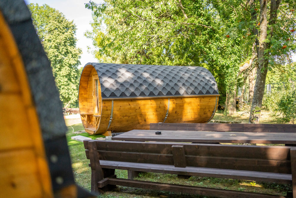
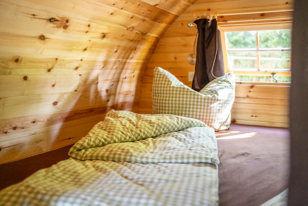
Because we took many breaks due to the heat, we only arrived in Kürnbach after about 6 hours. There are no hotels or guesthouses in the town itself, but we were still able to stay overnight. We ended up at the Adventure Golf Park Kürnbach, where our spacious camping barrel was already ready. There are two of these sleeping barrels on site, which can accommodate up to 4 people (2 adults & 2 children). We slept excellently in the large double bed (200 x 200 cm). There was also plenty of storage space for our luggage and room to relax. Showers and toilets are also available for guests of the sleeping barrels.
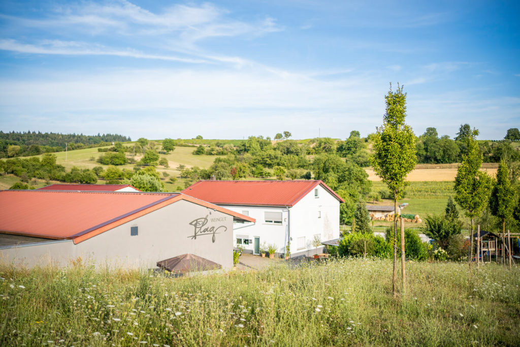
Ending the evening at the Plag winery
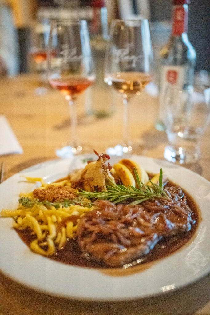
After a cool drink and a refreshing shower, we made our way to Plag Winery, where we ended the evening in great company. Winemaking is now in the fourth generation, with incredible passion. Their focus is on careful and, above all, quality-oriented cultivation and vinification of the wines.
The friendly owners showed us around and told us all about the production of their wines. We were also treated to a tour of their own wine cellar and, of course, sampled some of their wines. After an incredibly delicious dinner and great conversations, we made our way back to our sleeping barrel late in the evening.

Eppinger-Linien-Weg: Highlights on our Stage
- Marvel at Maulbronn Monastery
- Hike through the Stromberg-Heuchelberg Nature Park
- Numerous vineyards, orchards & sunflower fields
- Enjoy views over the land of 1000 hills
- Wine picnic in the vineyards of the Häußermann winery
- Sternenfels view & Schlossberg tower
- Overnight stay in a camping barrel in Kürnbach
- Plag winery in Kürnbach
2. “Bühlertalwanderwerg” long-distance hiking trail
The Bühlertalwanderweg is a 72 km long long-distance hiking trail that runs from Abtsgmünd to Ilshofen-Eckartshausen and is best completed in 6 day stages. Natural paths await you here, leading through the hilly landscape of Hohenlohe, untouched river landscapes, imposing cliffs, secluded forests, as well as idyllic villages and medieval towns. Particularly noteworthy are the beautiful town of Vellberg and the Unteres Bühlertal nature reserve. More on that later.
We took a slightly modified look at stages 4 and 5 and got a great first impression of this long-distance hiking trail. From Ummenhofen, we hiked to Vellberg and then continued through the Lower Bühler Valley to Anhausen. There, we were picked up and taken back to our car. We stayed overnight in a cozy hotel in Vellberg, which we will introduce to you in more detail later.
- Start/End Point: Abtsgmünd Bus Station/Ilshofen-Eckartshausen Train Station
- Trail Marking: White sign with the blue inscription “BTW”
- Total Length: 72 kilometers
- Duration: 18 to 20 hours
- Route: View the entire route here
- Hiking Recommendation: 6 daily stages (see the stages)
- Equipment: Fixed Hiking boots and daily provisions
- Highlights: Vellberg, Lower Bühlertal Nature Reserve, Tannenburg, Taubenloch…
Start in Ummenhofen
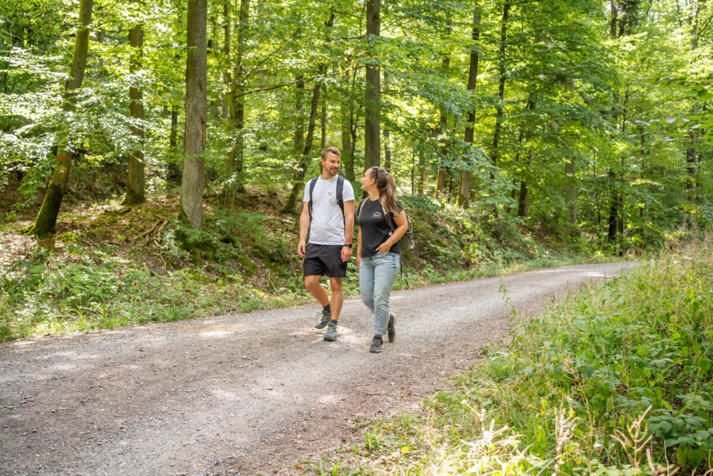
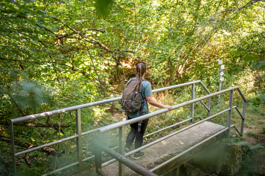
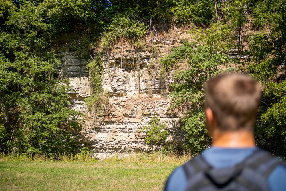
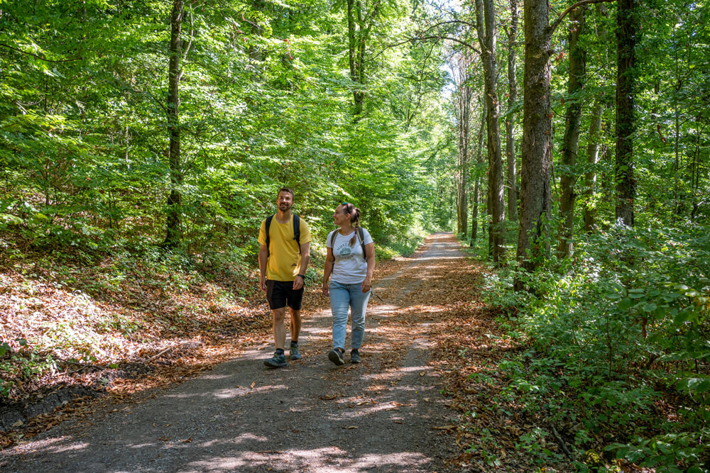
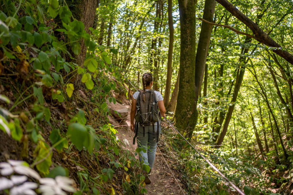
Since we didn’t have enough time on this trip, we took a shortcut and started stage 4 in Ummenhofen instead of Bühlertann. There we parked our car in front of the church and set off straight away. The first few kilometers took us past several sunflower fields before we hiked through the wild and romantic Steinbachtal Valley and, a little later, past impressive rock faces. There wasn’t a soul to be seen for miles around, just Marco and me. We hiked through the idyllic forest and crossed streams and rivers over several bridges. Finally, we reached the small Vellberg district of Eschenau.
Short break in the Eschenau district
Eschenau is a district of Vellberg and is picturesquely situated on the Bühler River. While hiking through the small village, we were delighted to discover a so-called “Schmackomat” next to the “Zum Angus” snack bar, where we could purchase chilled iced tea. This came in very handy, as it was once again approaching 30°C that day. We enjoyed our iced tea packets and watched the ducks swimming by in the river. If you’re on this stage, be sure to pack some change for this vending machine. From Eschenau, it wasn’t far to the center of Vellberg.
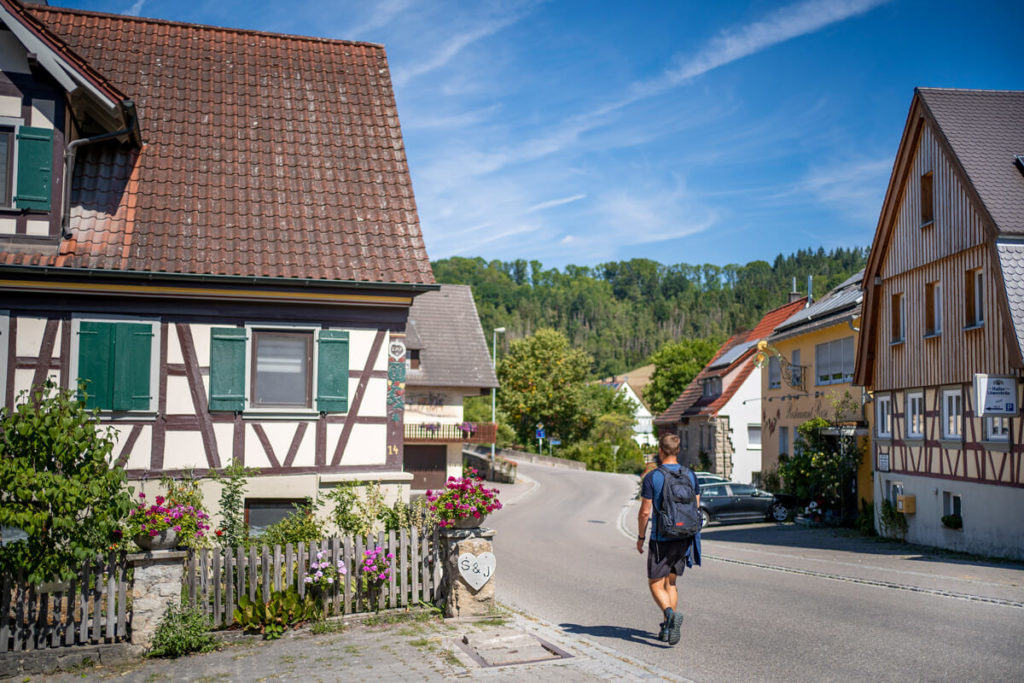
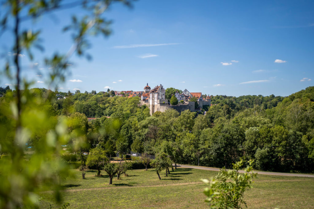
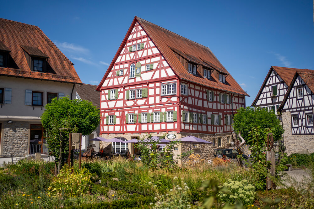
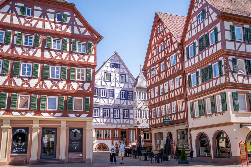
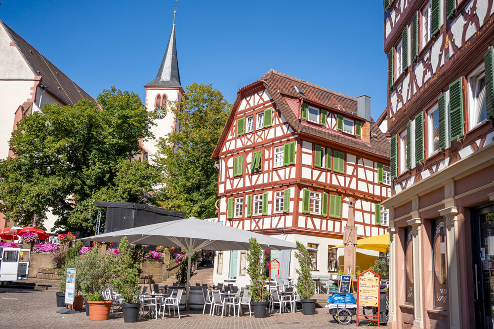
Half-timbered romance in Vellberg
After our relaxing break, we hiked for about 30 minutes to the town center of Vellberg. Even from a distance, we were treated to a magnificent view of the town, which impressed us with its towers, gates, and massive city wall. We strolled through the medieval old town and marveled at the lovingly restored half-timbered houses. Wow! What a pretty place. We didn’t have to search long for a cozy place to stop for a bite to eat; we sat under the parasol in front of the Hotel & Café Fachwerk. Here we ordered homemade iced tea, fresh cappuccino, and incredibly delicious cake.
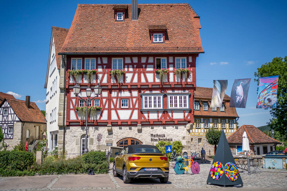
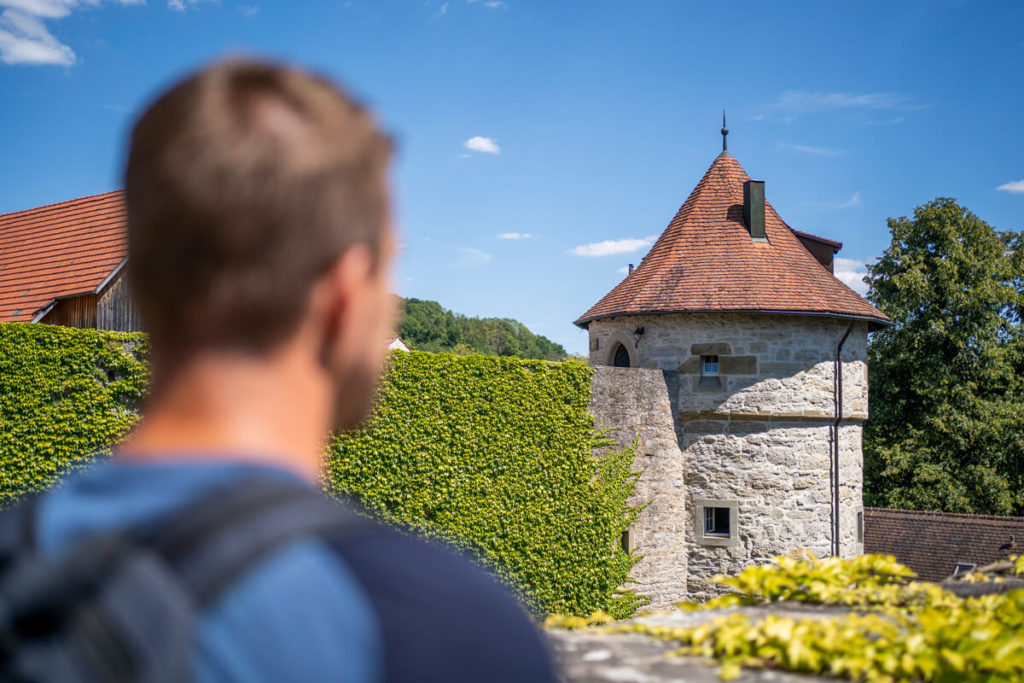
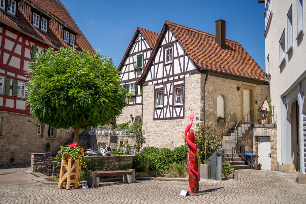
Naturally, we also wanted to explore the pretty town and strolled through the alleys and streets. The historic town center (called “Städtle”) is very small, so we didn’t need much time to get an overview. We explored the underground battlements, much of which is accessible, the market fountain, the town towers, the Upper and Lower Castles, and the old Amtshaus (administrative building). We also took a closer look at the street gallery with colorful works of art by Vellberg artists. Vellberg is super charming and should definitely not be missed on your hike!
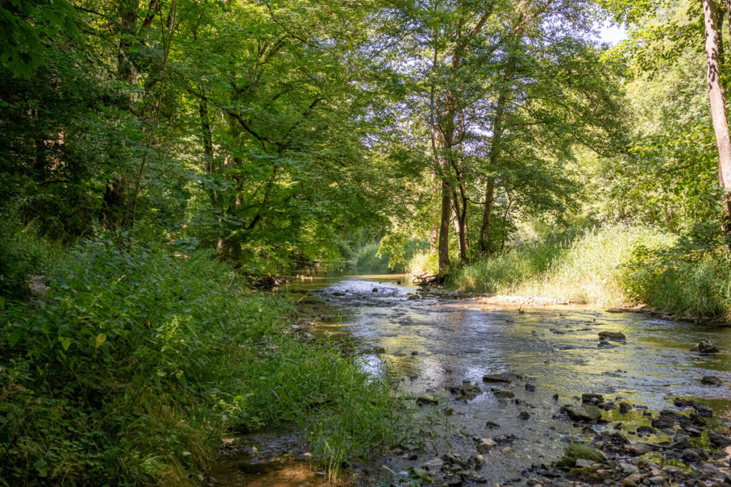
Nature Reserve “Unteres Bühlertal”
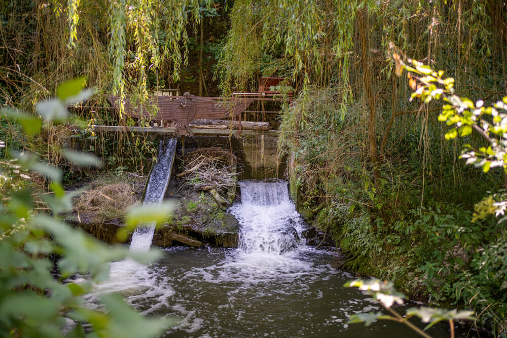
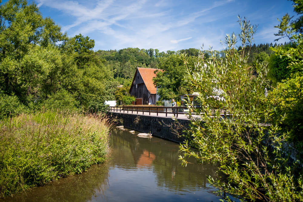
After exploring Vellberg, we continued our hike and explored a small section of Stage 5, which runs from Vellberg to Cröffelbach. The trail led us largely through the “Unteres Bühlertal” nature reserve, with wildly romantic paths through the valley, lush flora and fauna, idyllic meadows, and an untouched river landscape. The path in the valley became quite narrow and led us over stones and steps before we passed under a railway bridge and past the remote Rappolden mill. After a total of 11 kilometers we reached the town of Anhausen, where our day’s hike ended.
Overnight stay at the Hotel & Café Fachwerk
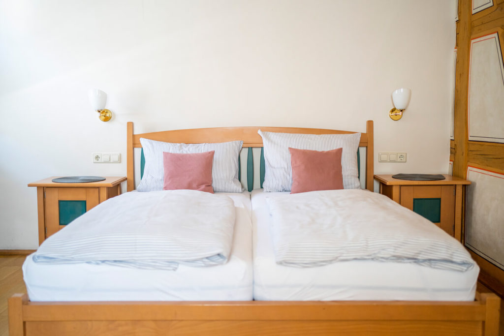
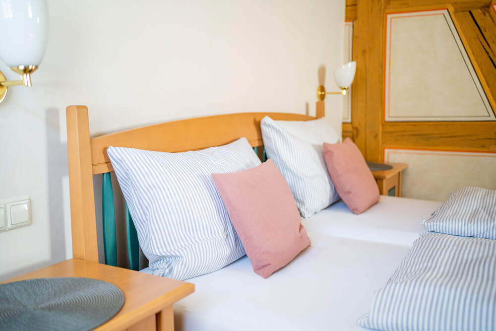
After our hike, we returned to Vellberg, where we checked into our room at the super-charming Hotel & Café Fachwerk. This hotel is located in a restored Ganerbenhaus, which was built in 1514. There are a total of 10 guest rooms and one suite, all equipped with a shower, toilet, Wi-Fi, and TV. We slept very well in our cozy room, “Ludmilla,” and were able to recover from the day’s hike. In the morning, a lovingly prepared breakfast with homemade specialties awaited us. The two owners are truly wonderful people and pamper their guests as best they can. Absolutely recommended!
Bühlertal hiking trail: Highlights on our stage
- Historic town center from Vellberg
- Coffee and cake at the Hotel & Café Fachwerk
- Schmackomat in Eschenau just before Vellberg
- Lower Bühlertal with pristine river landscape
- Hike through the Steinbachtal
- Overnight stay at the Hotel & Café Fachwerk in Vellberg
- Dinner at the Gasthof zum Löwen
3. Long-distance hiking trail “Neckarsteig”
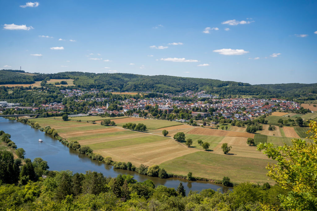
Now we come to another long-distance hiking trail in the Baden-Württemberg region, namely the well-known “Neckarsteig”. This hiking trail measures a proud 126.7 kilometers and leads in 9 stages from Heidelberg to Bad Wimpfen. Variety is key here, as there’s plenty to discover along the way, such as the beautiful city of Heidelberg, the medieval towns of Mosbach and Bad Wimpfen with their magnificent half-timbered houses, the Margarethenschlucht Gorge near Neckargerach, and Zwingenberg Castle. A total of 15 castles, 7 medieval towns, 4 palaces, and 1 natural monument can be explored along the Neckarsteig Trail.
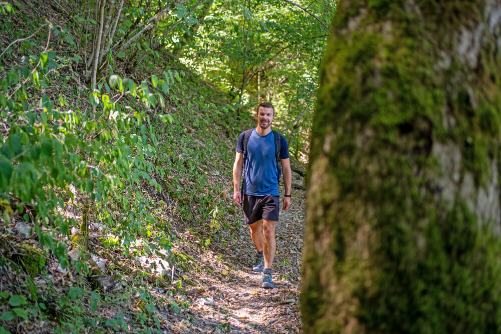
We were on Stage 7 of the Neckarsteig Trail and hiked from Mosbach to Neckargerach (you can choose which direction you want to hike). On this 14-kilometer stage, we enjoyed beautiful views of the Neckar Valley, explored the charming town of Mosbach, and hiked through the impressive Margarethenschlucht Gorge, which has been a nature reserve since 1940. The 450 meters of ascent and descent made us sweat quite a bit in some places, but more on that later.
- Start/End Point: Heidelberg/Bad Wimpfen
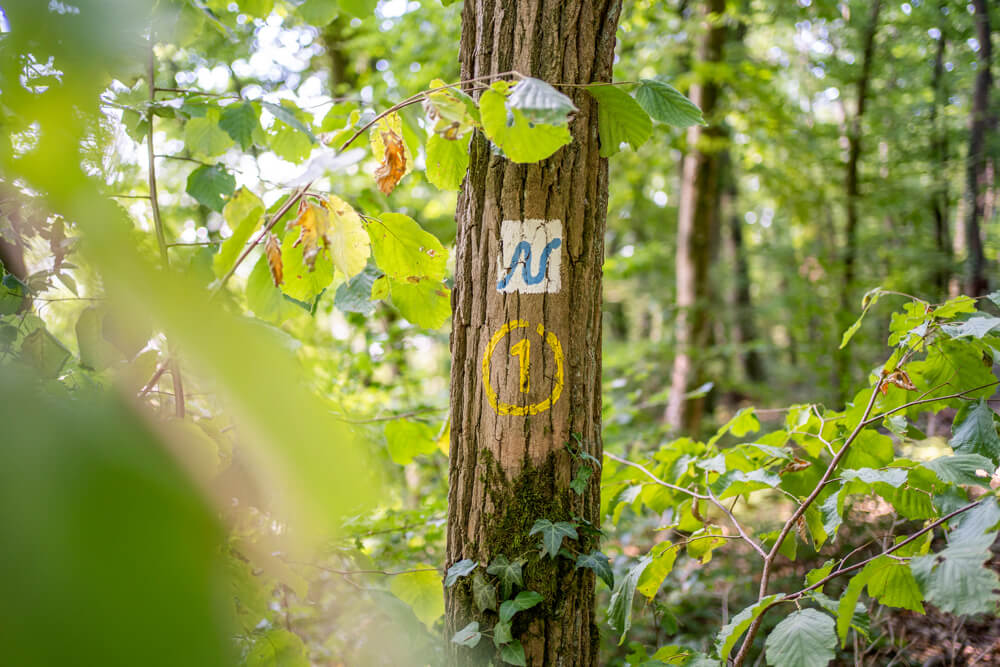
- Trail Marking: White sign with a blue N
- Total Length: Approx. 127 kilometers
- Duration: 45 to 50 hours
- Route: View the entire route here
- Seal of Quality: Qualitätsweg Wanderbares Deutschland
- Hiking Recommendation: 9 daily stages (see the stages)
- Equipment: Sturdy hiking boots and daily provisions
- Highlights: Heidelberg, Mosbach, Bad Wimpfen, Margarethenschlucht, palaces & castles…
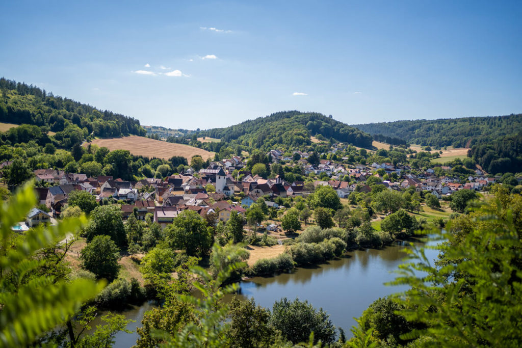
Start in Mosbach
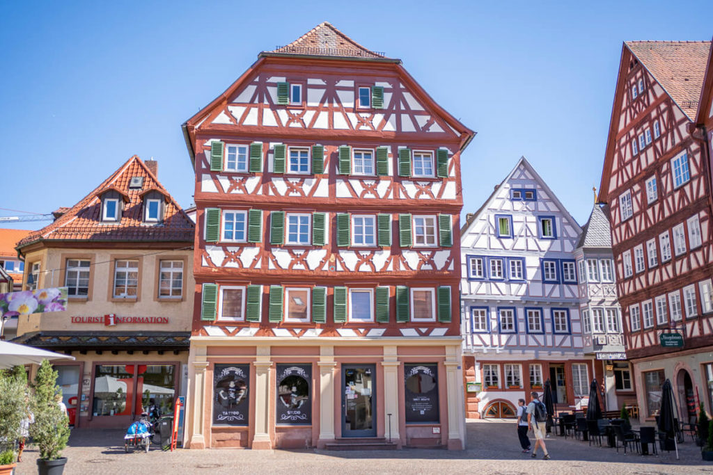
We began our day hike in the medieval town of Mosbach, which we immediately liked. It is located approximately 25 km north of Heilbronn and 35 km east of Heidelberg. While strolling through the town, we were immediately struck by the beautiful half-timbered houses, which are numerous in the picturesque old town. You can stroll leisurely along the main street, which has been converted into a pedestrian zone, and stop at one or two cafés or restaurants. Highly recommended is the West Beirut Restaurant (more of a snack bar), which serves incredibly delicious falafel wraps.
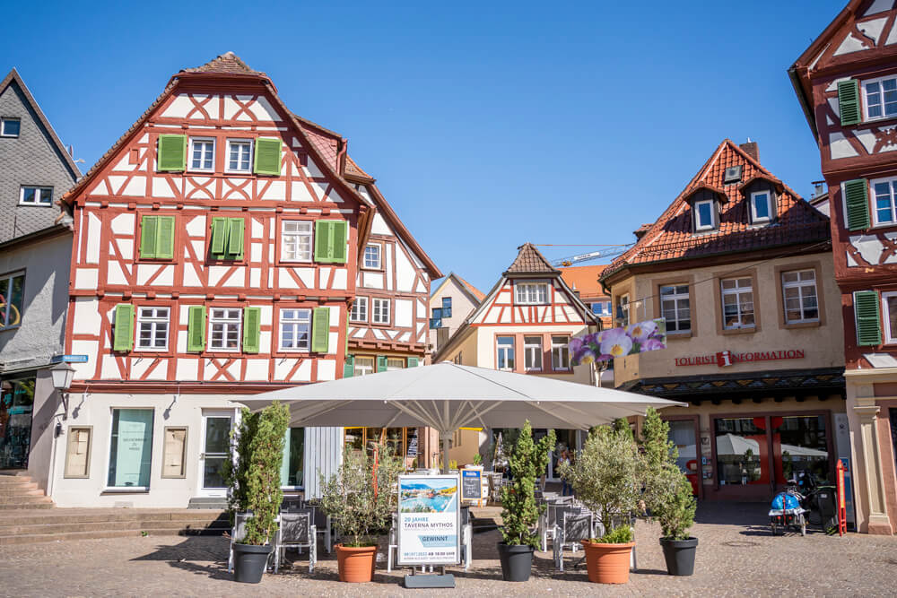
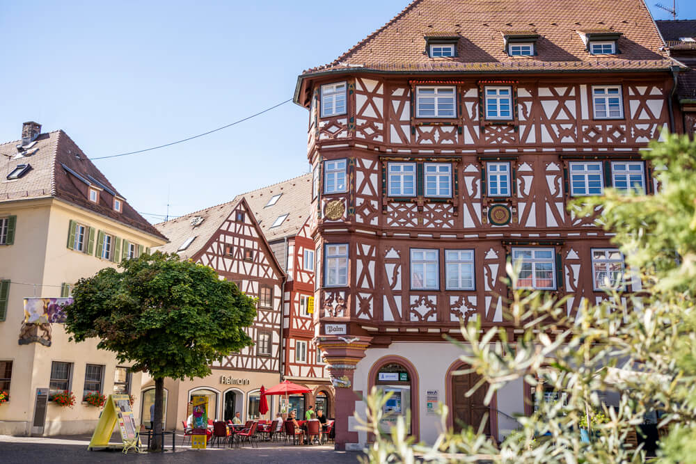
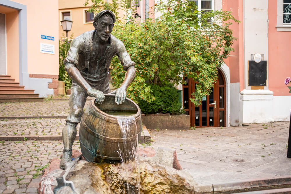
Be sure to take enough time to explore this pretty little town. Stroll across the market square and be captivated by the many half-timbered houses. There you’ll find the Palmsche Haus (Palm House) dating back to 1610, the town hall with its 34-meter-high tower, the tourist information office, the collegiate church, as well as shops and restaurants. Behind the Taverna Mythos restaurant is the so-called Kiwwelschisser fountain, which commemorates the nickname of the Mosbach residents. In the 19th century, residents used their excrement, which they collected in buckets beforehand, to fertilize their fields. You can find out more about Mosbach here: Things to see in Mosbach.
Through the Neckartal-Odenwald Nature Park
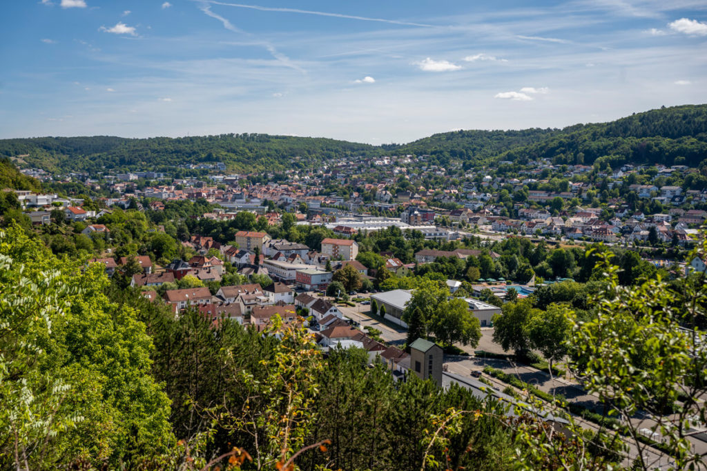
From Mosbach, We climbed up to Henschelberg, from where we were able to catch ever-changing views of Mosbach’s old town and the Nüstenbach Valley. The sun shone brightly again on this day and made us sweat pretty quickly. Fortunately, we hiked most of the way through wooded areas, which are part of the 1520 km² Neckartal-Odenwald Nature Park. This nature park is also one of the largest in the entire state of Baden-Württemberg and includes, among other things, the densely wooded low mountain range of the Odenwald.
Tip: Teufelskanzel viewpoint
The paths on this stage We alternated between hiking trails, field paths, and forest roads. At some points, we had to climb quite a bit in both directions, which required a fair amount of stamina and fitness. There are also no rest stops along the way, so you should be prepared. We had received a small packed lunch from our accommodation in Mosbach that morning, so we were well-stocked. Along the way, we passed several benches and loungers where we could take a short break. The “Teufelskanzel” viewpoint, with its view over the Neckar, Diedesheim, and Obrigheim, is very beautiful.
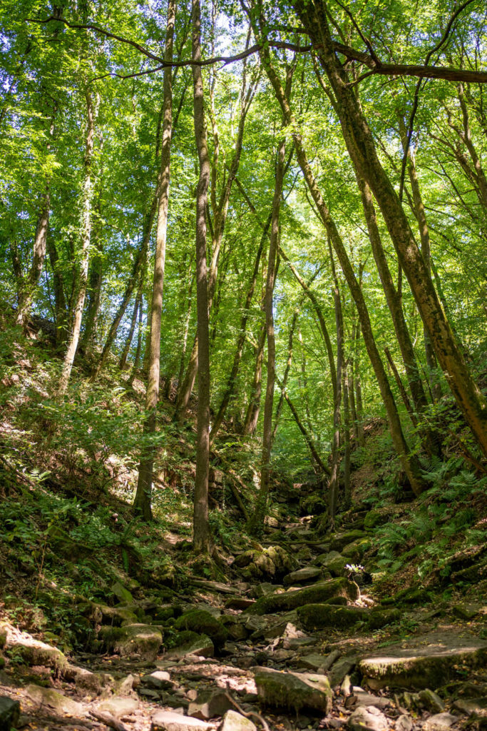
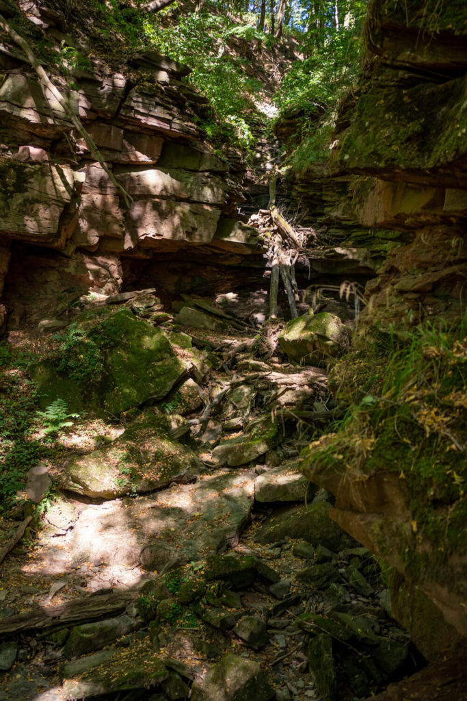
Through the Margarethenschlucht Gorge
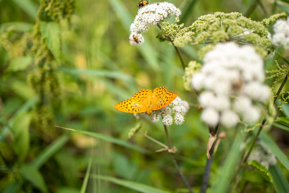
We then continued hiking through the rolling hills, past meadows, fields, and forests before reaching the entrance to the Margarethenschlucht Gorge. It is definitely a highlight of this hike and awaited us with a wild backdrop. The 130 m high gorge with its numerous waterfalls is said to have been formed around 40 million years ago. Incredible, right? This is also where the Odenwald’s highest waterfall is located, plunging into the Flursbach stream over several cascades. During our visit in August, there was, of course, no water in the gorge due to the heat and drought. The narrow forest path leads steeply down but is well secured with wire ropes. We repeatedly see signs warning of “difficult-to-access terrain with an alpine character.” However, with sufficient surefootedness, caution, and sturdy footwear, the trail can be mastered without any problems (even with children!!!). Particularly beautiful are the bizarre rock formations, the huge cliffs and the diverse fauna and flora. After about 3 kilometers, we reached the end of the gorge and continued strolling leisurely above the Neckar River.
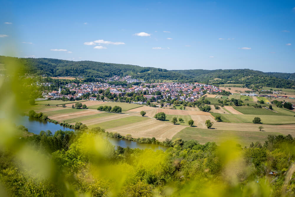
Panoramic Trail with a View of the Neckar
The last 2 kilometers of Stage 7 of the Neckarsteig took us leisurely along the panoramic trail with a view of the Neckar Valley and the neighboring towns. We found this part of our hike particularly beautiful, even though the final few meters were physically demanding. The reason for this wasn’t the elevation gain, but rather the blazing sun, which, without any shade, was quite a challenge. Finally, we reached the train station in Neckargerach happy and satisfied, from where we took the next train back to Mosbach. Upon arriving in Mosbach, we treated ourselves to a delicious ice cream at the Venezia ice cream parlor.
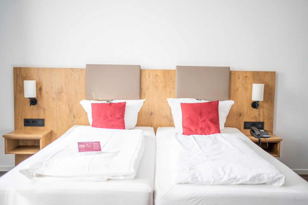
Overnight stay at the Hotel Lamm
We stayed at the beautiful Hotel Lamm*, located right in the historic town center of Mosbach. The 3-star superior hotel awaited us with a down-to-earth restaurant and cozy, but above all, spacious rooms. Our superior double room (Großer Odenwald) featured a comfortable box-spring bed, a kitchenette, TV and Wi-Fi, a safe, a bathroom with a toilet and bathtub, and a seating area. A small breakfast was served in the breakfast room in the morning. For just €5, you can put together a small packed lunch for the day.
Neckarsteig: Highlights on our stage
- Historic town center of Mosbach
- Wraps at the West Beirut Restaurant
- Eat ice cream at the Venezia ice cream parlor in Mosbach
- Devil’s Kanzel viewpoint
- Hike through the Margarethenschlucht Gorge
- Panoramic trails with a view of the Neckar River
- Beautiful vineyards, meadows, and pastures
Long-distance hiking in the open spaces of Baden-Württemberg – Our conclusion
Now, after writing this article, we once again realized how diverse Baden-Württemberg is. The three long-distance hiking trails presented here are truly impressive and have a lot to offer. Each tour was completely different and led us through beautiful landscapes and towns. In perfect weather, we were able to hike these long-distance trails and explore the most beautiful corners and highlights of each stage. And who knows, maybe this article has inspired you to try out one or two stages of a long-distance hiking trail in Baden-Württemberg.